Medium airport · Nigeria

Gombe Lawanti International AirportDNGO
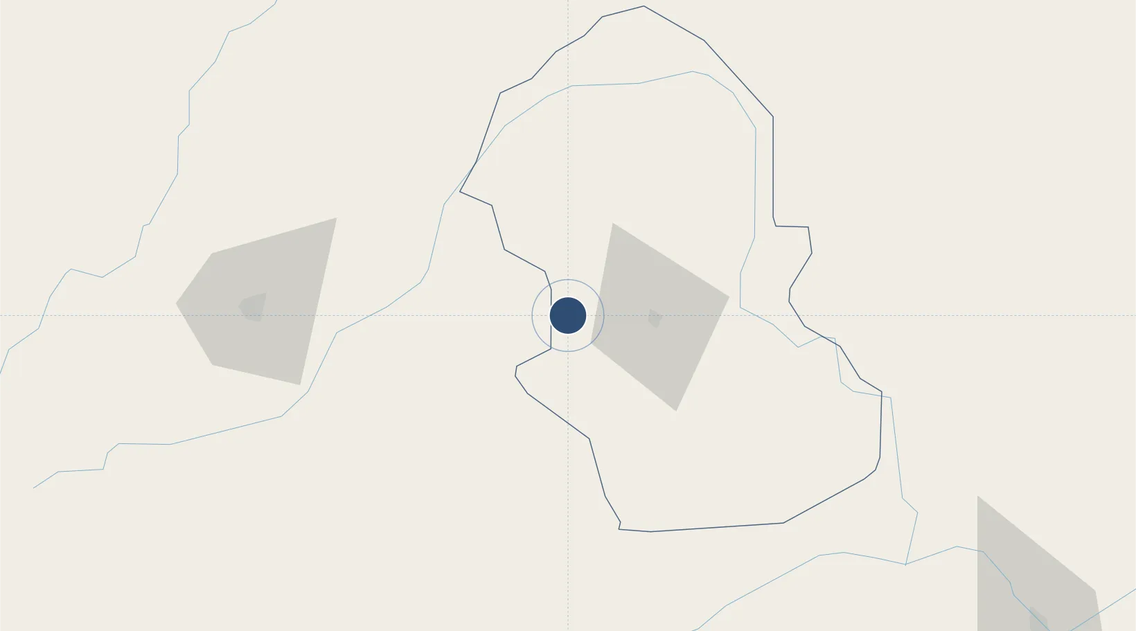
10.2989°, 10.9000°
10,827 ft
Longest runway
1
Runways
1,590 ft
Elevation

Runway & Layout

Gombe Lawanti International Airport runway & taxiway layout
Runway & taxiway layout — OpenStreetMap (ODbL) / OurAirports

Runways · 1

RunwayDimensions SurfaceTrue headingLit
05/23 10,827 × 148ft Asphalt
OurAirports

Airport Specifications

IATA code
GMO
OurAirports
ICAO code
DNGO
OurAirports
Airport class
Medium airport
OurAirports
Scheduled service
Yes
OurAirports
Runway surface
Asphalt
OurAirports
Served city
Gombe
OurAirports

Location

Location of DNGO
Natural Earth 10m (public domain) · Gombe · DNGO · 10.30, 10.90GoogleOSMYandex

Nearby Logistics Neighbours

Airports
  1. 1Sir Abubakar Tafawa Balewa Bauchi State International Airport128 km
  2. 2Yola Airport204 km
  3. 3Yakubu Gowon Airport234 km
  4. 4Garoua International Airport291 km
  5. 5Maiduguri International Airport294 km
Nearest neighbours — logibook spatial index (haversine) over the source coordinates
Cities
  1. 1Gombe29 km
  2. 2Borno248 km
  3. 3Anta283 km
  4. 4Garoua296 km
  5. 5Mararaba317 km
Nearest neighbours — logibook spatial index (haversine) over the source coordinates
Ports
  1. 1Calabar658 km
  2. 2Douala708 km
  3. 3Kole Oil Terminal721 km
  4. 4Antan Oil Terminal733 km
  5. 5Moudi Marine Terminal737 km
Nearest neighbours — logibook spatial index (haversine) over the source coordinates
Trade Zones
  1. 1Sebore Farms Export Processing Zone179 km
  2. 2Djamboutou Garoua Industrial Zone292 km
  3. 3Maigatari Border Free Trade Zone322 km
  4. 4Kano Free Trade Zone324 km
  5. 5Banki Border Free Zone371 km
Nearest neighbours — logibook spatial index (haversine) over the source coordinates
DatabookThe Record of Consolidated Knowledge
Nigeria beyond logistics?
Browse databook

All Sources

AirportsOurAirports
Public domain
Portsthe NGA World Port Index
Public domain (US gov)
LocationsUN/LOCODE
UN/LOCODE — free
Trade Zonesthe World Bank SEZ database
CC BY 4.0
Trade ZonesOpen Zone Map
CC BY
InfrastructureOpenStreetMap
ODbL 1.0
← Nigeria airports