Medium airport · Nigeria
Yola AirportDNYO
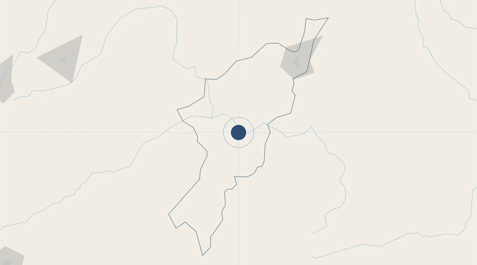
9.2576°, 12.4304°
9,840 ft
Longest runway
1
Runways
599 ft
Elevation
Runway & Layout

Radio Frequencies
TWR
122.5 MHz
Navaids
YL NDB Yola 336 kHz
YOL VOR-DME Yola 115.50 MHz
Runways · 1
| Runway | Dimensions | Surface | True heading | Lit |
|---|---|---|---|---|
| 17/35 | 9,840 × 148ft | Asphalt | 171° | ✓ |
Airport Specifications
IATA code
YOL
ICAO code
DNYO
Airport class
Medium airport
Scheduled service
Yes
Runway surface
Asphalt
Served city
Yola
Location
Nearby Logistics Neighbours
Airports
- 1Garoua International Airport104 km
- 2Gombe Lawanti International Airport204 km
- 3Salak Airport240 km
- 4N'Gaoundéré Airport245 km
- 5Maiduguri International Airport297 km
Cities
- 1Borno68 km
- 2Garoua107 km
- 3Gombe179 km
- 4Ngaoundéré246 km
- 5Mararaba300 km
Ports
- 1Douala654 km
- 2Calabar659 km
- 3Limboh Terminal689 km
- 4Kole Oil Terminal703 km
- 5Moudi Marine Terminal719 km
Trade Zones
DatabookThe Record of Consolidated Knowledge
Nigeria beyond logistics?