Specialized Zone · Nigeria
Sebore Farms Export Processing Zone Active
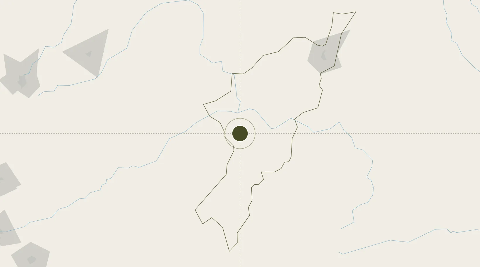
9.1690°, 12.0604°
14,000 ha
Zone area
623.6 km
Nearest port
41.8 km
Nearest airport
Gateway access
Zone profile
Zone type
Specialized Zone
Specialization
Agriculture
Region
Adamawa
Status
Active
Management
Private
Operator
Mayo Belwa Ad. Nigeria
Legal framework
Sebore Farms Export Processing ZOne Regulations Cap 107-LFN-2004
Location
Nearby Logistics Neighbours
Ports
- 1Calabar624 km
- 2Douala627 km
- 3Limboh Terminal660 km
- 4Kole Oil Terminal670 km
- 5Moudi Marine Terminal687 km
Airports
- 1Yola Airport42 km
- 2Garoua International Airport145 km
- 3Gombe Lawanti International Airport179 km
- 4N'Gaoundéré Airport260 km
- 5Salak Airport280 km
Cities
- 1Borno70 km
- 2Garoua148 km
- 3Gombe158 km
- 4Ngaoundéré262 km
- 5Mararaba263 km
Trade Zones
- 1Djamboutou Garoua Industrial Zone144 km
- 2Ngaoundere Industrial Zone262 km
- 3Banki Border Free Zone327 km
- 4Banengo Industrial Zone451 km
- 5Djermaya Special Economic Zone490 km
DatabookThe Record of Consolidated Knowledge
Nigeria beyond logistics?