Medium airport · Algeria

Guemar Airport - مطار قمار بالواديDAUO
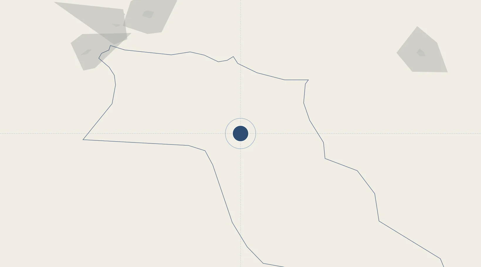
33.5114°, 6.7768°
9,843 ft
Longest runway
2
Runways
203 ft
Elevation

Runway & Layout

Guemar Airport - مطار قمار بالوادي runway & taxiway layout
Runway & taxiway layout — OpenStreetMap (ODbL) / OurAirports

Radio Frequencies

TWR
119.7 MHz
EL OUED TWR
RDO
889.4 MHz
EL OUED RDO
OurAirports

Navaids

ELO VOR-DME El Oued 117.60 MHz
ELO NDB El Oued 358 kHz
OurAirports

Runways · 2

RunwayDimensions SurfaceTrue headingLit
13/31 9,843 × 148ft Asphalt 130°
02/20 6,562 × 98ft Asphalt 018°
OurAirports

Airport Specifications

IATA code
ELU
OurAirports
ICAO code
DAUO
OurAirports
Airport class
Medium airport
OurAirports
Scheduled service
Yes
OurAirports
Runway surface
Asphalt
OurAirports
Served city
Guemar
OurAirports

Location

Location of DAUO
Natural Earth 10m (public domain) · El Oued · DAUO · 33.51, 6.78GoogleOSMYandex

Nearby Logistics Neighbours

Airports
  1. 1Touggourt Sidi Madhi Airport81 km
  2. 2Tozeur Nefta International Airport132 km
  3. 3Biskra - Mohamed Khider Airport172 km
  4. 4Hassi Messaoud-Oued Irara Krim Belkacem Airport213 km
  5. 5Gafsa Ksar International Airport214 km
Nearest neighbours — logibook spatial index (haversine) over the source coordinates
Cities
  1. 1Nefta108 km
  2. 2Kebili204 km
  3. 3Tebessa243 km
  4. 4Al Qasrayn264 km
  5. 5Guellal310 km
Nearest neighbours — logibook spatial index (haversine) over the source coordinates
Ports
  1. 1Gabes312 km
  2. 2Skhira319 km
  3. 3Skikda375 km
  4. 4Djen-Djen376 km
  5. 5Houmt Souk379 km
Nearest neighbours — logibook spatial index (haversine) over the source coordinates
Trade Zones
  1. 1Zarzis Park of Economic Activities402 km
  2. 2Ben Guerdane Economic Free Zone446 km
  3. 3Taminhent Free Zone492 km
  4. 4Zwara-Abu-Kemmash Free Trade Zone494 km
  5. 5Bizerte Park of Economic Activities503 km
Nearest neighbours — logibook spatial index (haversine) over the source coordinates
DatabookThe Record of Consolidated Knowledge
Algeria beyond logistics?
Browse databook

All Sources

AirportsOurAirports
Public domain
Portsthe NGA World Port Index
Public domain (US gov)
LocationsUN/LOCODE
UN/LOCODE — free
Trade Zonesthe World Bank SEZ database
CC BY 4.0
Trade ZonesOpen Zone Map
CC BY
InfrastructureOpenStreetMap
ODbL 1.0
← Algeria airports