Large airport · Algeria

Biskra - Mohamed Khider AirportDAUB
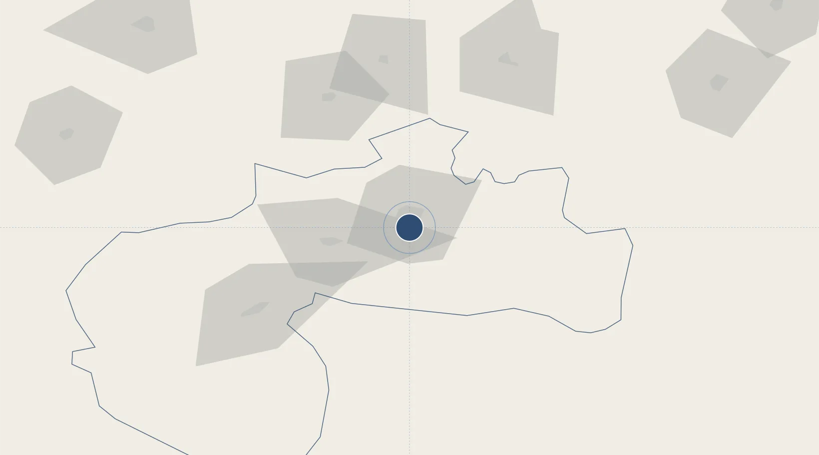
34.7932°, 5.7389°
9,469 ft
Longest runway
1
Runways
289 ft
Elevation

Runway & Layout

Biskra - Mohamed Khider Airport runway & taxiway layout
Runway & taxiway layout — OpenStreetMap (ODbL) / OurAirports

Navaids

BIS VOR-DME Biskra 115.00 MHz
OurAirports

Runways · 1

RunwayDimensions SurfaceTrue headingLit
13/31 9,469 × 148ft Asphalt 130°
OurAirports

Airport Specifications

IATA code
BSK
OurAirports
ICAO code
DAUB
OurAirports
Airport class
Large airport
OurAirports
Scheduled service
Yes
OurAirports
Runway surface
Asphalt
OurAirports
Served city
Biskra
OurAirports

Location

Location of DAUB
Natural Earth 10m (public domain) · Biskra · DAUB · 34.79, 5.74GoogleOSMYandex

Nearby Logistics Neighbours

Airports
  1. 1Batna Mostefa Ben Boulaid Airport119 km
  2. 2Bou Saada Airport152 km
  3. 3Ain Arnat Airport158 km
  4. 4Guemar Airport - مطار قمار بالوادي172 km
  5. 5Mohamed Boudiaf International Airport183 km
Nearest neighbours — logibook spatial index (haversine) over the source coordinates
Cities
  1. 1Guellal143 km
  2. 2Sétif158 km
  3. 3Bordj Bou Arreridj167 km
  4. 4El Merdja183 km
  5. 5Kherrata193 km
Nearest neighbours — logibook spatial index (haversine) over the source coordinates
Ports
  1. 1Djen-Djen225 km
  2. 2Bejaia226 km
  3. 3Jijel227 km
  4. 4Skikda256 km
  5. 5Collo257 km
Nearest neighbours — logibook spatial index (haversine) over the source coordinates
Trade Zones
  1. 1Bizerte Park of Economic Activities462 km
  2. 2Zarzis Park of Economic Activities515 km
  3. 3Free Zone of Portovesme543 km
  4. 4Ben Guerdane Economic Free Zone567 km
  5. 5Zwara-Abu-Kemmash Free Trade Zone617 km
Nearest neighbours — logibook spatial index (haversine) over the source coordinates
DatabookThe Record of Consolidated Knowledge
Algeria beyond logistics?
Browse databook

All Sources

AirportsOurAirports
Public domain
Portsthe NGA World Port Index
Public domain (US gov)
LocationsUN/LOCODE
UN/LOCODE — free
Trade Zonesthe World Bank SEZ database
CC BY 4.0
Trade ZonesOpen Zone Map
CC BY
InfrastructureOpenStreetMap
ODbL 1.0
← Algeria airports