Seaport · Algeria
SkikdaDZSKI
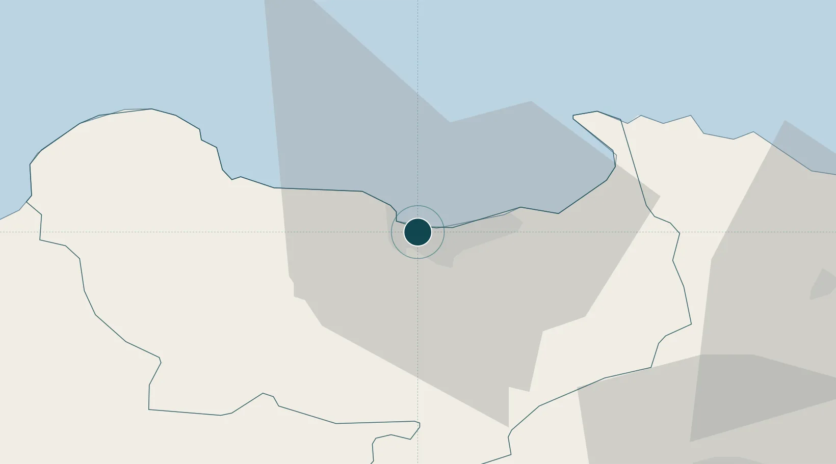
36.8833°, 6.9167°
15.5 m
Channel depth
1
Container terminals
54.4
Port liner connectivity
Channel & Berth Profile
Pilotage, Tugs & Services
Pilotage compulsoryYES
Pilotage availableYES
Pilotage advisableYES
Tug assistanceYES
Salvage tugsYES
Shore powerYES
Potable waterYES
Diesel bunkersYES
MedicalYES
Garbage disposalYES
Facilities & Capabilities
Container—
Ro-Ro—
Liquid bulk—
Dry bulk—
Oil terminal—
Break bulk—
Dry dock—
RepairsNO
BunkeringYES
Rail link—
Dangerous cargo—
ISPS security—
Harbour Specifications
Harbour size
Small
Harbour type
Coastal (Breakwater)
Shelter
Good
Water body
Mediterranean Sea; North Atlantic Ocean
Overhead limit
No
Pilotage
Yes
Liner Connectivity
54.4
PLSCI
Port Liner Shipping Connectivity Index for Skikda, as published by UNCTAD for the latest available quarter. Higher values indicate stronger scheduled liner-shipping integration.
Shown relative to the highest per-port PLSCI in the dataset (1,657.9).
Location
Container Terminals · 1
SKIKDA PORT
EPS ENTREPRISE PORTUAIRE DE SKIKDA (EPS)
Nearby Logistics Neighbours
Cities
- 1Collo36 km
- 2Annaba (ex Bone)75 km
- 3Djen-Djen92 km
- 4Kherrata154 km
- 5Sétif156 km
Airports
Trade Zones
DatabookThe Record of Consolidated Knowledge
Algeria beyond logistics?