About
Methodology
Sources
Licensing
English
EN
English
TR
Türkçe
DE
Deutsch
FR
Français
ES
Español
IT
Italiano
PT
Português
NL
Nederlands
PL
Polski
RU
Русский
UK
Українська
CS
Čeština
RO
Română
EL
Ελληνικά
BG
Български
AR
العربية
FA
فارسی
UR
اردو
HI
हिन्दी
BN
বাংলা
ID
Bahasa Indonesia
VI
Tiếng Việt
ZH
中文
JA
日本語
KO
한국어
logibook
/
Countries
/
Tunisia
/
Locations
/
Al Qasrayn
UN/LOCODE hub ·
Tunisia
TN
AQY
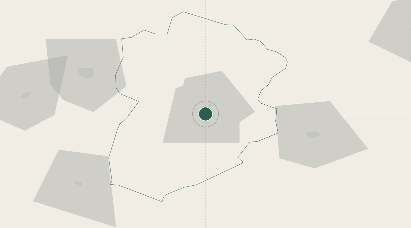
Al Qasrayn
35.1667°, 8.8333°
2
Transport functions
Transport Functions
Rail
Road
UN/LOCODE
Location
Natural Earth 10m (public domain) · Kassérine · TNAQY · 35.17, 8.83
Google ↗
OSM ↗
Yandex ↗
Nearby Logistics Neighbours
Cities
1
Tebessa
70 km
2
Kebili
164 km
3
El Fahs
165 km
4
Mahires
168 km
5
Nefta
170 km
Nearest neighbours — logibook spatial index (haversine) over the source coordinates
Ports
1
Skhira
152 km
2
Sousse
180 km
3
Mersa Sfax
183 km
4
Gabes
184 km
5
Tabarka
200 km
Nearest neighbours — logibook spatial index (haversine) over the source coordinates
Airports
1
Cheikh Larbi Tébessi Airport
71 km
2
Gafsa Ksar International Airport
83 km
3
Tozeur Nefta International Airport
152 km
4
Sfax Thyna International Airport
177 km
5
Enfidha - Hammamet International Airport
177 km
Nearest neighbours — logibook spatial index (haversine) over the source coordinates
Trade Zones
1
Bizerte Park of Economic Activities
251 km
2
Zarzis Park of Economic Activities
281 km
3
Ben Guerdane Economic Free Zone
337 km
4
Zwara-Abu-Kemmash Free Trade Zone
386 km
5
Taminhent Free Zone
411 km
Nearest neighbours — logibook spatial index (haversine) over the source coordinates
Data
book
The Record of Consolidated Knowledge
Tunisia beyond logistics?
Browse databook
→
All Sources
Locations
UN/LOCODE
UN/LOCODE — free
↗
Ports
the NGA World Port Index
Public domain (US gov)
↗
Airports
OurAirports
Public domain
↗
Trade Zones
the World Bank SEZ database
CC BY 4.0
↗
Trade Zones
Open Zone Map
CC BY
↗
← Tunisia locations