UN/LOCODE hub · Algeria
DZGLL

Guellal

36.0333°, 5.3333°
1
Transport functions

Transport Functions

Multimodal
UN/LOCODE

Hub Profile

Place type
Populated place
GeoNames
Region
Sétif
GeoNames
Time zone
Africa/Algiers
GeoNames
Elevation
908 m
GeoNames

Location

Location of DZGLL
Natural Earth 10m (public domain) · Sétif · DZGLL · 36.03, 5.33GoogleOSMYandex

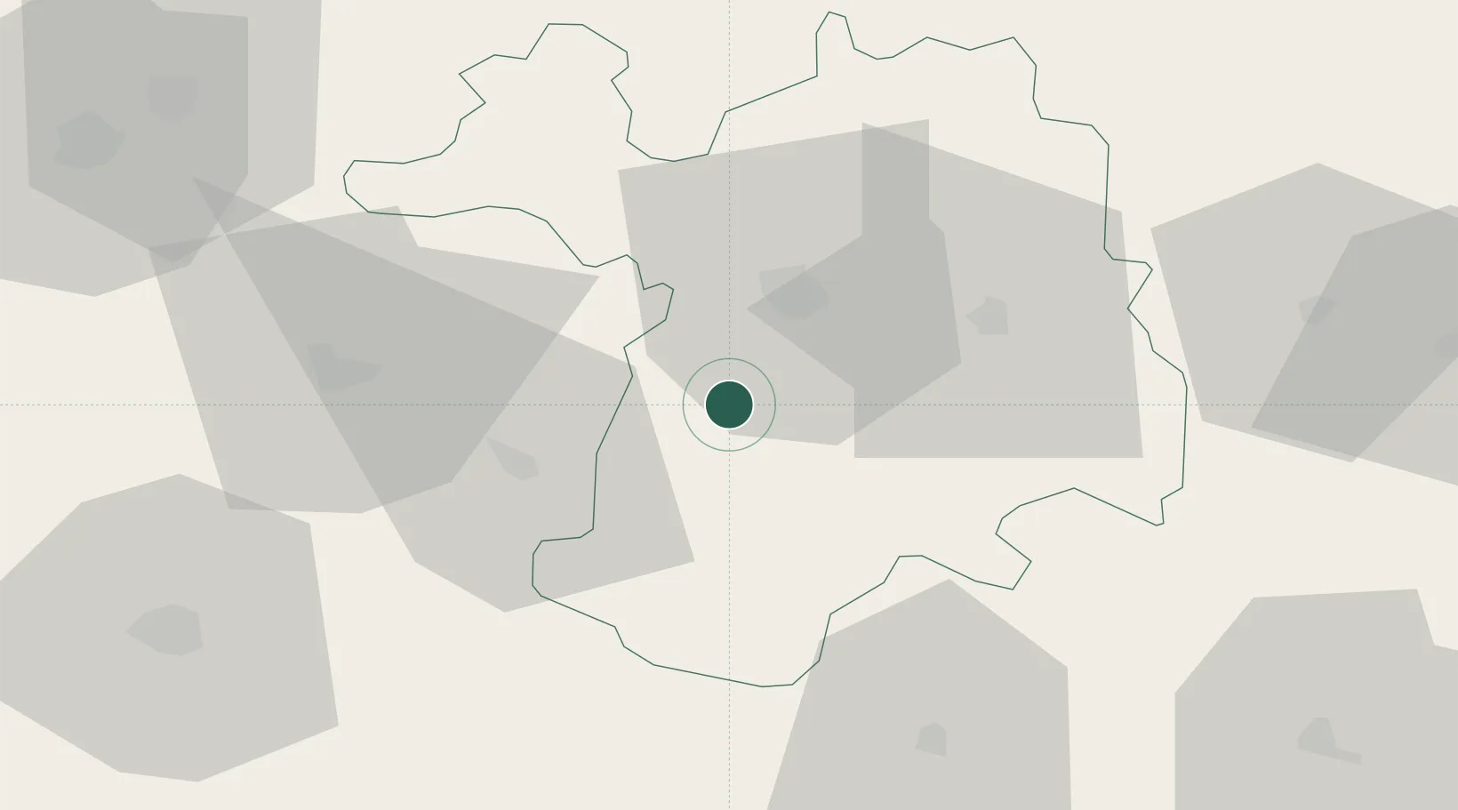
Nearby Logistics Neighbours

Cities
  1. 1Sétif18 km
  2. 2Kherrata50 km
  3. 3Bordj Bou Arreridj51 km
  4. 4Bejaia (ex Bougie)83 km
  5. 5El Merdja87 km
Nearest neighbours — logibook spatial index (haversine) over the source coordinates
Ports
  1. 1Bejaia83 km
  2. 2Jijel98 km
  3. 3Djen-Djen100 km
  4. 4Collo155 km
  5. 5Dellys160 km
Nearest neighbours — logibook spatial index (haversine) over the source coordinates
Airports
  1. 1Ain Arnat Airport16 km
  2. 2Soummam–Abane Ramdane Airport79 km
  3. 3Batna Mostefa Ben Boulaid Airport93 km
  4. 4Jijel Ferhat Abbas Airport97 km
  5. 5Mohamed Boudiaf International Airport119 km
Nearest neighbours — logibook spatial index (haversine) over the source coordinates
Trade Zones
  1. 1Bizerte Park of Economic Activities427 km
  2. 2Free Zone of Portovesme443 km
  3. 3Depósito Franco de Alicante576 km
  4. 4Sardinia Special Economic Zone Area599 km
  5. 5Zarzis Park of Economic Activities599 km
Nearest neighbours — logibook spatial index (haversine) over the source coordinates
DatabookThe Record of Consolidated Knowledge
Algeria beyond logistics?
Browse databook

All Sources

LocationsUN/LOCODE
UN/LOCODE — free
Portsthe NGA World Port Index
Public domain (US gov)
AirportsOurAirports
Public domain
Trade Zonesthe World Bank SEZ database
CC BY 4.0
Trade ZonesOpen Zone Map
CC BY
← Algeria locations