Medium airport · Tunisia

Tozeur Nefta International AirportDTTZ
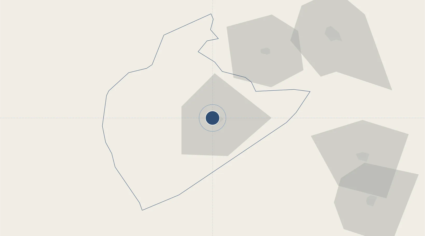
33.9397°, 8.1106°
10,581 ft
Longest runway
1
Runways
287 ft
Elevation

Runway & Layout

Tozeur Nefta International Airport runway & taxiway layout
Runway & taxiway layout — OpenStreetMap (ODbL) / OurAirports

Radio Frequencies

TWR
118.2 MHz
TOZEUR TWR
APP
120.7 MHz
TOZEUR APP
OurAirports

Navaids

TON VOR-DME Tozeur 117.00 MHz
ZN NDB Nefta 375 kHz
OurAirports

Runways · 1

RunwayDimensions SurfaceTrue headingLit
09/27 10,581 × 148ft Asphalt 089°
OurAirports

Airport Specifications

IATA code
TOE
OurAirports
ICAO code
DTTZ
OurAirports
Airport class
Medium airport
OurAirports
Scheduled service
Yes
OurAirports
Runway surface
Asphalt
OurAirports
Served city
Tozeur
OurAirports

Location

Location of DTTZ
Natural Earth 10m (public domain) · Tozeur · DTTZ · 33.94, 8.11GoogleOSMYandex

Nearby Logistics Neighbours

Airports
  1. 1Gafsa Ksar International Airport85 km
  2. 2Guemar Airport - مطار قمار بالوادي132 km
  3. 3Cheikh Larbi Tébessi Airport166 km
  4. 4Gabès Matmata International Airport169 km
  5. 5Touggourt Sidi Madhi Airport211 km
Nearest neighbours — logibook spatial index (haversine) over the source coordinates
Cities
  1. 1Nefta24 km
  2. 2Kebili84 km
  3. 3Al Qasrayn152 km
  4. 4Tebessa162 km
  5. 5Gabès185 km
Nearest neighbours — logibook spatial index (haversine) over the source coordinates
Ports
  1. 1Gabes185 km
  2. 2Skhira187 km
  3. 3Houmt Souk253 km
  4. 4Mersa Sfax259 km
  5. 5Zarzis282 km
Nearest neighbours — logibook spatial index (haversine) over the source coordinates
Trade Zones
  1. 1Zarzis Park of Economic Activities282 km
  2. 2Ben Guerdane Economic Free Zone331 km
  3. 3Zwara-Abu-Kemmash Free Trade Zone381 km
  4. 4Taminhent Free Zone388 km
  5. 5Bizerte Park of Economic Activities402 km
Nearest neighbours — logibook spatial index (haversine) over the source coordinates
DatabookThe Record of Consolidated Knowledge
Tunisia beyond logistics?
Browse databook

All Sources

AirportsOurAirports
Public domain
Portsthe NGA World Port Index
Public domain (US gov)
LocationsUN/LOCODE
UN/LOCODE — free
Trade Zonesthe World Bank SEZ database
CC BY 4.0
Trade ZonesOpen Zone Map
CC BY
InfrastructureOpenStreetMap
ODbL 1.0
← Tunisia airports