Medium airport · Algeria

Touggourt Sidi Madhi AirportDAUK
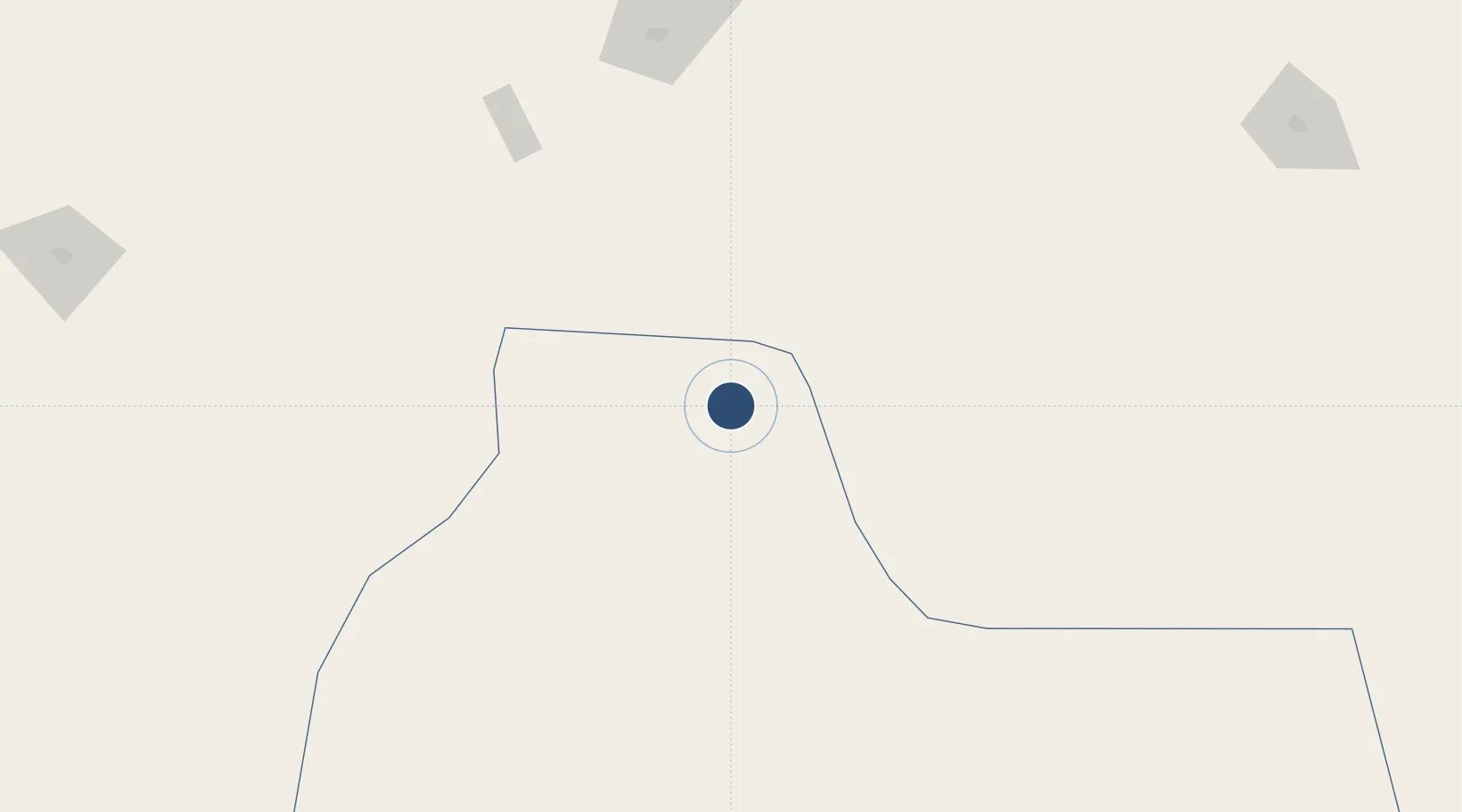
33.0678°, 6.0887°
9,843 ft
Longest runway
1
Runways
279 ft
Elevation

Runway & Layout

Touggourt Sidi Madhi Airport runway & taxiway layout
Runway & taxiway layout — OpenStreetMap (ODbL) / OurAirports

Radio Frequencies

TWR
119.7 MHz
TOUGGOURT TWR
RDO
889.4 MHz
TOUGGOURT RDO
OurAirports

Navaids

TGU VOR-DME Touggourt 113.20 MHz
OurAirports

Runways · 1

RunwayDimensions SurfaceTrue headingLit
01/19 9,843 × 148ft Asphalt 009°
OurAirports

Airport Specifications

IATA code
TGR
OurAirports
ICAO code
DAUK
OurAirports
Airport class
Medium airport
OurAirports
Scheduled service
Yes
OurAirports
Runway surface
Asphalt
OurAirports
Served city
Touggourt
OurAirports

Location

Location of DAUK
Natural Earth 10m (public domain) · Ouargla · DAUK · 33.07, 6.09GoogleOSMYandex

Nearby Logistics Neighbours

Airports
  1. 1Guemar Airport - مطار قمار بالوادي81 km
  2. 2Ain Beida Airport143 km
  3. 3Hassi Messaoud-Oued Irara Krim Belkacem Airport155 km
  4. 4Biskra - Mohamed Khider Airport195 km
  5. 5Tozeur Nefta International Airport211 km
Nearest neighbours — logibook spatial index (haversine) over the source coordinates
Cities
  1. 1Nefta187 km
  2. 2Ghardaïa236 km
  3. 3Kebili276 km
  4. 4Tebessa319 km
  5. 5Guellal337 km
Nearest neighbours — logibook spatial index (haversine) over the source coordinates
Ports
  1. 1Gabes385 km
  2. 2Skhira395 km
  3. 3Djen-Djen417 km
  4. 4Bejaia420 km
  5. 5Jijel420 km
Nearest neighbours — logibook spatial index (haversine) over the source coordinates
Trade Zones
  1. 1Zarzis Park of Economic Activities469 km
  2. 2Ben Guerdane Economic Free Zone509 km
  3. 3Taminhent Free Zone548 km
  4. 4Zwara-Abu-Kemmash Free Trade Zone555 km
  5. 5Bizerte Park of Economic Activities579 km
Nearest neighbours — logibook spatial index (haversine) over the source coordinates
DatabookThe Record of Consolidated Knowledge
Algeria beyond logistics?
Browse databook

All Sources

AirportsOurAirports
Public domain
Portsthe NGA World Port Index
Public domain (US gov)
LocationsUN/LOCODE
UN/LOCODE — free
Trade Zonesthe World Bank SEZ database
CC BY 4.0
Trade ZonesOpen Zone Map
CC BY
InfrastructureOpenStreetMap
ODbL 1.0
← Algeria airports