Seaport · Algeria

Djen-DjenDZDJE

36.8167°, 5.8833°
1
Container terminals
11.5
Port liner connectivity
Djen-Djen is also a UN/LOCODE logistics hub →

Channel & Berth Profile

SEA LEVEL (CD)CHANNEL BEDCargo pier · 11.0 m
NGA World Port Index

Pilotage, Tugs & Services

Pilotage compulsoryYES
Pilotage availableYES
Tug assistanceYES
Potable waterYES
Diesel bunkersYES
MedicalYES
Garbage disposalYES
NGA World Port Index

Facilities & Capabilities

Container
Ro-Ro
Liquid bulk
Dry bulk
Oil terminal
Break bulk
Dry dock
Repairs
BunkeringYES
Rail link
Dangerous cargo
ISPS security
NGA World Port Index

Harbour Specifications

Harbour size
Very Small
NGA World Port Index
Harbour type
Coastal (Breakwater)
NGA World Port Index
Shelter
Fair
NGA World Port Index
Water body
Mediterranean Sea; North Atlantic Ocean
NGA World Port Index
Overhead limit
No
NGA World Port Index
Pilotage
Yes
NGA World Port Index

Liner Connectivity

11.5
PLSCI

Port Liner Shipping Connectivity Index for Djen-Djen, as published by UNCTAD for the latest available quarter. Higher values indicate stronger scheduled liner-shipping integration.

Shown relative to the highest per-port PLSCI in the dataset (1,657.9).
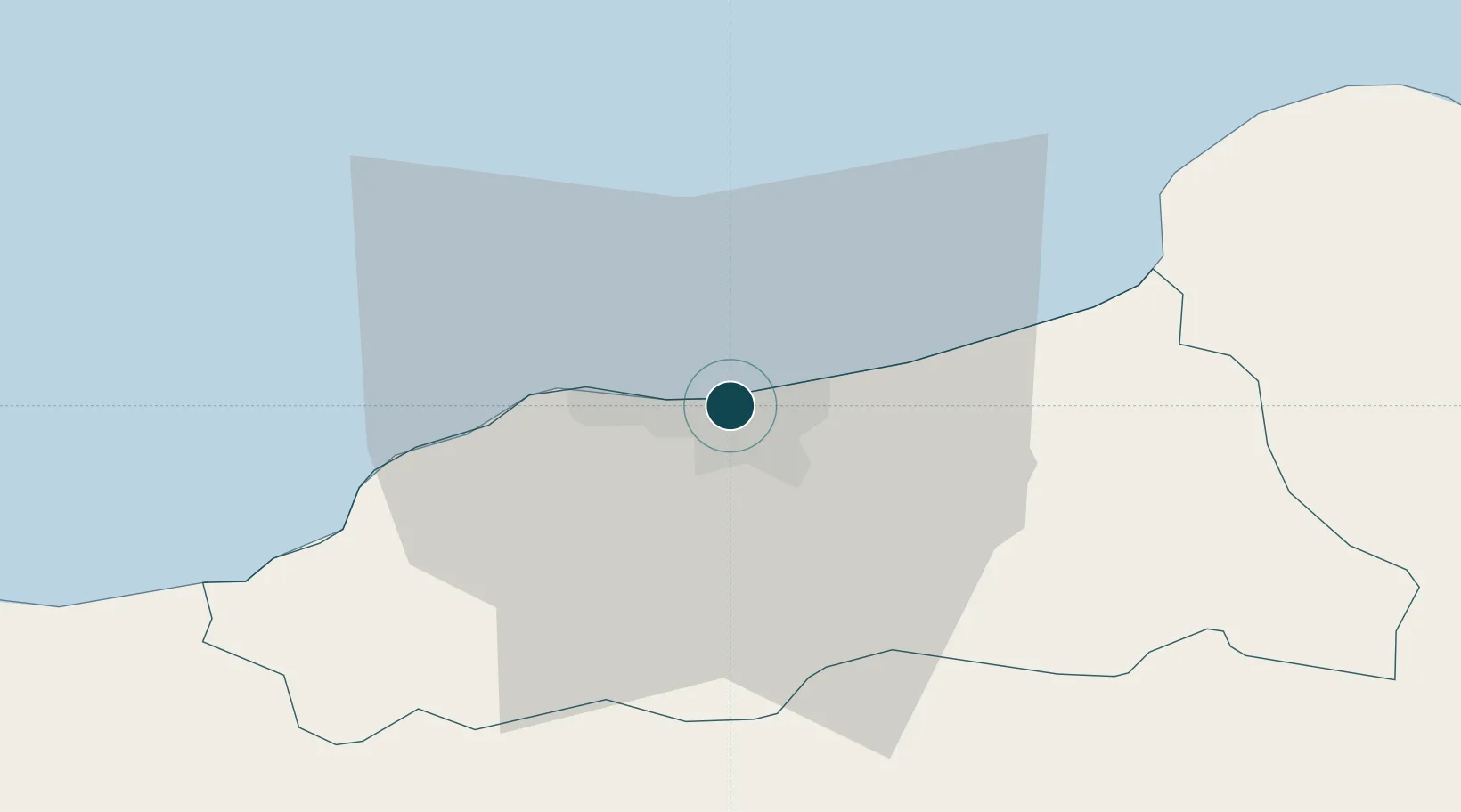
UNCTAD · Port Liner Shipping Connectivity Index

Location

Location of DZDJE
Natural Earth 10m (public domain) · Jijel · DZDJE · 36.82, 5.88GoogleOSMYandex

Container Terminals · 1

DP WORLD DJEN DJEN
DPW DP WORLD
SMDG Terminal Code List

Nearby Logistics Neighbours

Ports
  1. 1Jijel9 km
  2. 2Collo66 km
  3. 3Bejaia72 km
  4. 4Skikda92 km
  5. 5Annaba168 km
Nearest neighbours — logibook spatial index (haversine) over the source coordinates
Cities
  1. 1Collo63 km
  2. 2Kherrata66 km
  3. 3Bejaia (ex Bougie)72 km
  4. 4Sétif83 km
  5. 5Skikda (ex Philippeville)92 km
Nearest neighbours — logibook spatial index (haversine) over the source coordinates
Airports
  1. 1Jijel Ferhat Abbas Airport3 km
  2. 2Soummam–Abane Ramdane Airport73 km
  3. 3Ain Arnat Airport87 km
  4. 4Mohamed Boudiaf International Airport89 km
  5. 5Batna Mostefa Ben Boulaid Airport124 km
Nearest neighbours — logibook spatial index (haversine) over the source coordinates
Trade Zones
  1. 1Free Zone of Portovesme345 km
  2. 2Bizerte Park of Economic Activities357 km
  3. 3Sardinia Special Economic Zone Area499 km
  4. 4Depósito Franco de Alicante586 km
  5. 5Zona Franca de Barcelona598 km
Nearest neighbours — logibook spatial index (haversine) over the source coordinates
DatabookThe Record of Consolidated Knowledge
Algeria beyond logistics?
Browse databook

All Sources

Portsthe NGA World Port Index
Public domain (US gov)
Logistics performanceUNCTAD
CC BY 3.0 IGO
Portsthe SMDG Terminal Code List
UN/LOCODE — free, attribution
AirportsOurAirports
Public domain
LocationsUN/LOCODE
UN/LOCODE — free
Trade Zonesthe World Bank SEZ database
CC BY 4.0
Trade ZonesOpen Zone Map
CC BY
← Algeria ports