Transport Functions
Port
Multimodal
Hub Profile
Place type
Regional capital
Region
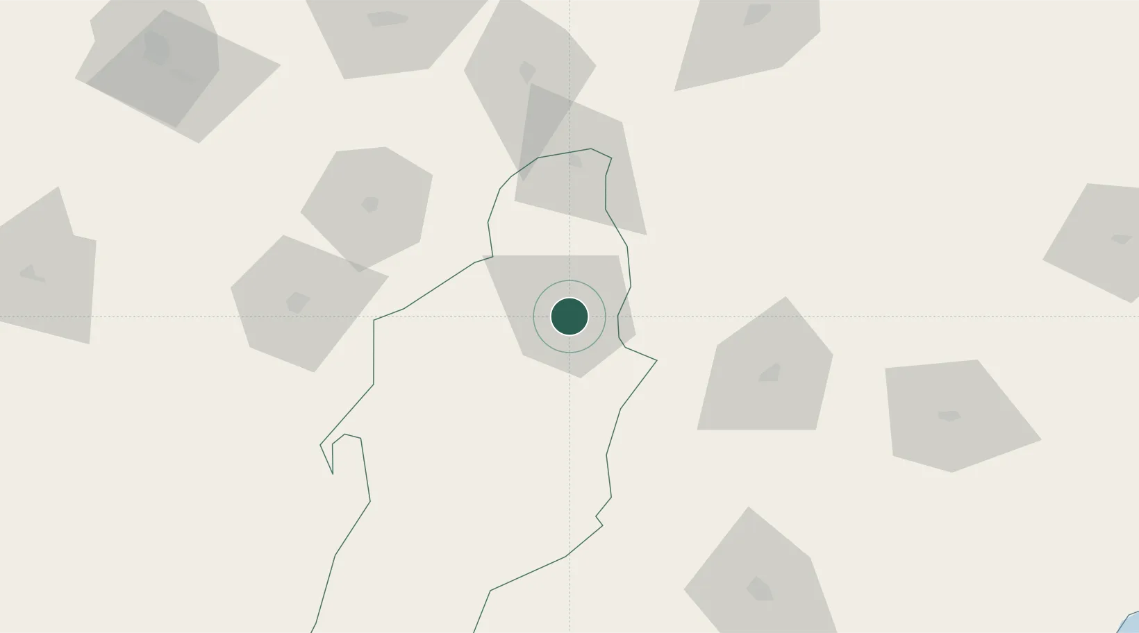
Tébessa
Population
194,461
Time zone
Africa/Algiers
Elevation
867 m
Location
Nearby Logistics Neighbours
Cities
- 1Al Qasrayn70 km
- 2Annaba (ex Bone)167 km
- 3Nefta172 km
- 4Béja177 km
- 5El Fahs193 km
Airports
Trade Zones
DatabookThe Record of Consolidated Knowledge
Algeria beyond logistics?