Transport Functions
Multimodal
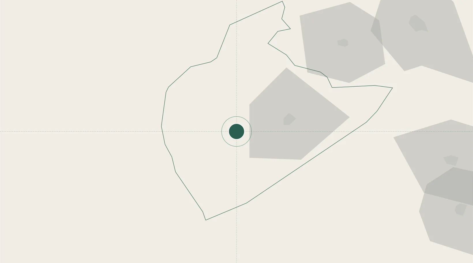
Hub Profile
Place type
Populated place
Region
Tozeur Governorate
Population
21,720
Time zone
Africa/Tunis
Elevation
65 m
Location
Nearby Logistics Neighbours
Cities
- 1Kebili103 km
- 2Al Qasrayn170 km
- 3Tebessa172 km
- 4Gabès208 km
- 5Medenine251 km
Ports
- 1Gabes208 km
- 2Skhira211 km
- 3Houmt Souk275 km
- 4Mersa Sfax283 km
- 5Zarzis304 km
Airports
Trade Zones
DatabookThe Record of Consolidated Knowledge
Tunisia beyond logistics?