Small airport · Canada

Pukatawagan AirportCZFG

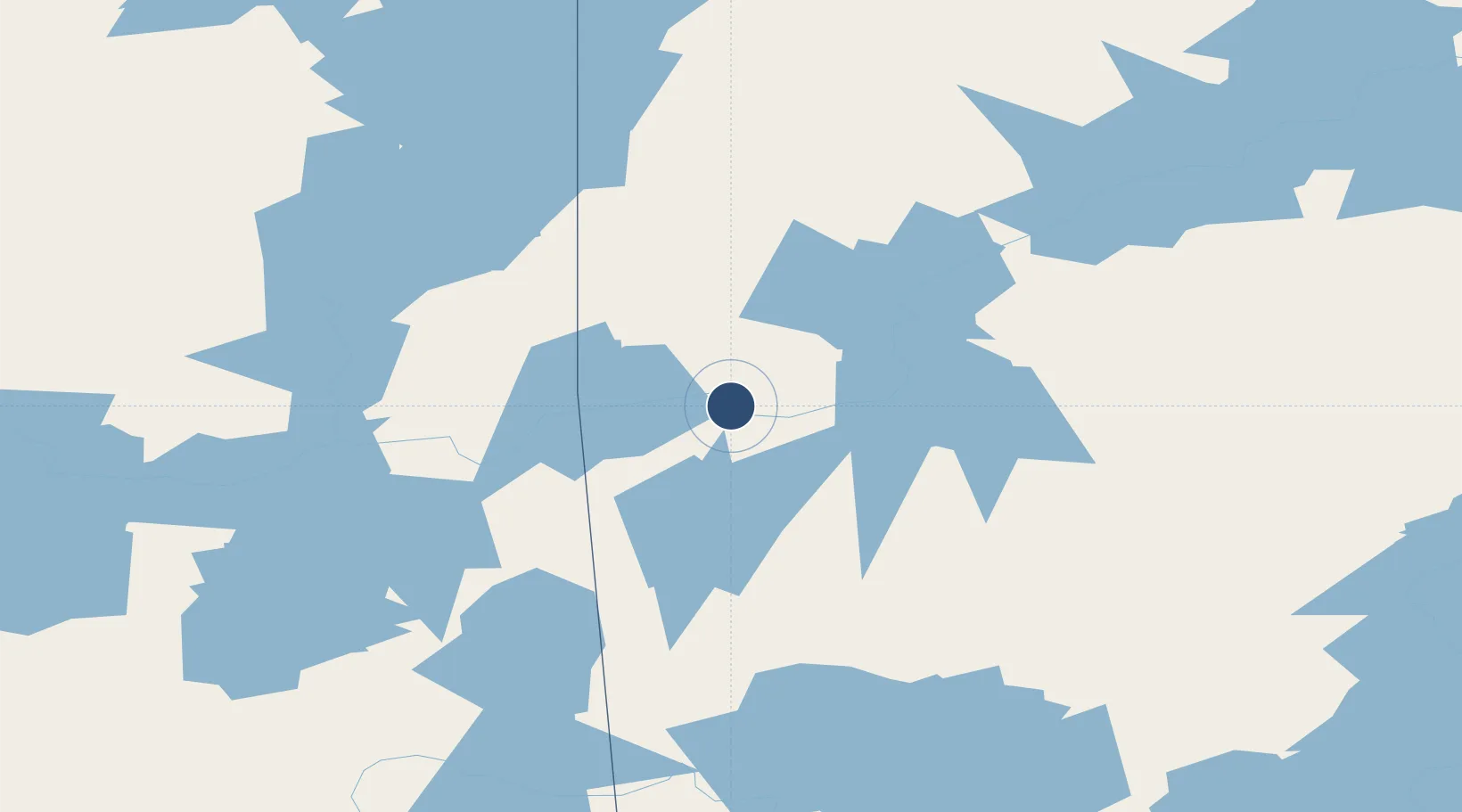
55.7492°, -101.2660°
3,000 ft
Longest runway
1
Runways
958 ft
Elevation

Runway & Layout

Pukatawagan Airport runway & taxiway layout
Runway & taxiway layout — OpenStreetMap (ODbL) / OurAirports

Navaids

R5 NDB Pukatawagan 367 kHz
OurAirports

Runways · 1

RunwayDimensions SurfaceTrue headingLit
15/33 3,000 × 85ft CRUSHED ROCK
OurAirports

Airport Specifications

IATA code
XPK
OurAirports
ICAO code
CZFG
OurAirports
Airport class
Small airport
OurAirports
Scheduled service
Yes
OurAirports
Runway surface
CRUSHED ROCK
OurAirports
Served city
Pukatawagan
OurAirports

Location

Location of CZFG
Natural Earth 10m (public domain) · Manitoba · CZFG · 55.75, -101.27GoogleOSMYandex

Nearby Logistics Neighbours

Airports
  1. 1Leaf Rapids Airport116 km
  2. 2Flin Flon Airport122 km
  3. 3Lynn Lake Airport125 km
  4. 4South Indian Lake Airport186 km
  5. 5The Pas Airport198 km
Nearest neighbours — logibook spatial index (haversine) over the source coordinates
Cities
  1. 1Split Lake326 km
  2. 2Aylsham329 km
  3. 3Zenon Park339 km
  4. 4Porcupine Plain373 km
  5. 5Star City377 km
Nearest neighbours — logibook spatial index (haversine) over the source coordinates
Ports
  1. 1Churchill542 km
  2. 2Thunder Bay1156 km
  3. 3Grand Marais1162 km
  4. 4Two Harbors1176 km
  5. 5Duluth1183 km
Nearest neighbours — logibook spatial index (haversine) over the source coordinates
Trade Zones
  1. 1Global Transportation Hub Authority634 km
  2. 2Winnipegs Centreport Canada707 km
  3. 3Port Alberta - Edmonton FTZ809 km
  4. 4FTZ No. 103 Grand Forks915 km
  5. 5FTZ No. 259 Koochiching County956 km
Nearest neighbours — logibook spatial index (haversine) over the source coordinates
DatabookThe Record of Consolidated Knowledge
Canada beyond logistics?
Browse databook

All Sources

AirportsOurAirports
Public domain
Portsthe NGA World Port Index
Public domain (US gov)
LocationsUN/LOCODE
UN/LOCODE — free
Trade Zonesthe World Bank SEZ database
CC BY 4.0
Trade ZonesOpen Zone Map
CC BY
InfrastructureOpenStreetMap
ODbL 1.0
← Canada airports