Small airport · Canada

Flin Flon AirportCYFO

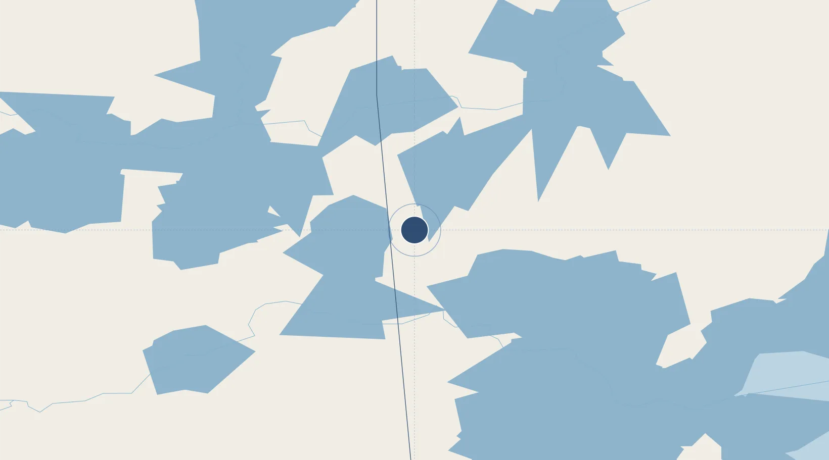
54.6781°, -101.6820°
5,004 ft
Longest runway
1
Runways
997 ft
Elevation

Runway & Layout

Flin Flon Airport runway & taxiway layout
Runway & taxiway layout — OpenStreetMap (ODbL) / OurAirports

Radio Frequencies

A/G
122 MHz
WINNIPEG RDO MF
RCO
122 MHz
WINNIPEG RDO
OurAirports

Navaids

FO NDB Flin Flon 250 kHz
OurAirports

Runways · 1

RunwayDimensions SurfaceTrue headingLit
19/01 5,004 × 150ft Asphalt 192°
OurAirports

Airport Specifications

IATA code
YFO
OurAirports
ICAO code
CYFO
OurAirports
Airport class
Small airport
OurAirports
Scheduled service
Yes
OurAirports
Runway surface
Asphalt
OurAirports
Served city
Flin Flon
OurAirports

Location

Location of CYFO
Natural Earth 10m (public domain) · Manitoba · CYFO · 54.68, -101.68GoogleOSMYandex

Nearby Logistics Neighbours

Airports
  1. 1The Pas Airport87 km
  2. 2Pukatawagan Airport122 km
  3. 3Nipawin Airport213 km
  4. 4Leaf Rapids Airport230 km
  5. 5La Ronge Airport235 km
Nearest neighbours — logibook spatial index (haversine) over the source coordinates
Cities
  1. 1Aylsham216 km
  2. 2Zenon Park225 km
  3. 3Porcupine Plain253 km
  4. 4Star City266 km
  5. 5Melfort279 km
Nearest neighbours — logibook spatial index (haversine) over the source coordinates
Ports
  1. 1Churchill645 km
  2. 2Grand Marais1101 km
  3. 3Two Harbors1103 km
  4. 4Thunder Bay1106 km
  5. 5Duluth1107 km
Nearest neighbours — logibook spatial index (haversine) over the source coordinates
Trade Zones
  1. 1Global Transportation Hub Authority514 km
  2. 2Winnipegs Centreport Canada615 km
  3. 3Port Alberta - Edmonton FTZ766 km
  4. 4FTZ No. 103 Grand Forks814 km
  5. 5FTZ No. 259 Koochiching County875 km
Nearest neighbours — logibook spatial index (haversine) over the source coordinates
DatabookThe Record of Consolidated Knowledge
Canada beyond logistics?
Browse databook

All Sources

AirportsOurAirports
Public domain
Portsthe NGA World Port Index
Public domain (US gov)
LocationsUN/LOCODE
UN/LOCODE — free
Trade Zonesthe World Bank SEZ database
CC BY 4.0
Trade ZonesOpen Zone Map
CC BY
InfrastructureOpenStreetMap
ODbL 1.0
← Canada airports