Transport Functions
Rail
Road
Hub Profile
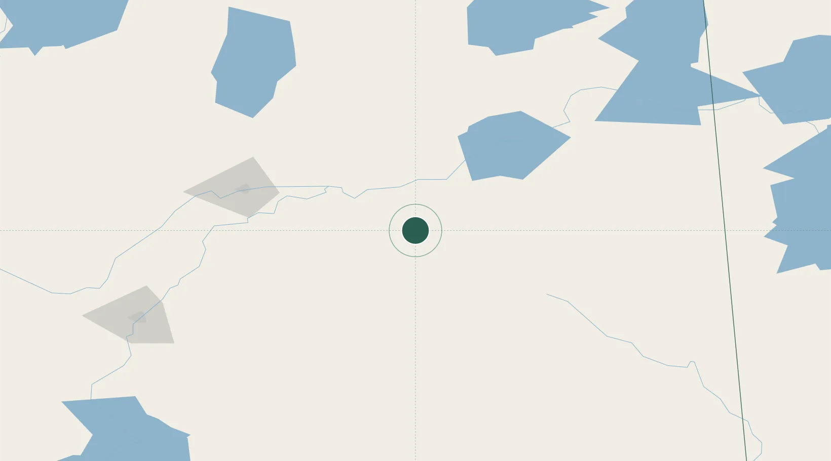
Place type
Populated place
Region
Saskatchewan
Time zone
America/Regina
Elevation
466 m
Location
Nearby Logistics Neighbours
Cities
- 1Melfort18 km
- 2Zenon Park44 km
- 3Aylsham50 km
- 4Naicam53 km
- 5Spalding60 km
Ports
- 1Churchill911 km
- 2Duluth1107 km
- 3Superior1111 km
- 4Two Harbors1114 km
- 5Grand Marais1143 km
Airports
Trade Zones
- 1Global Transportation Hub Authority271 km
- 2Winnipegs Centreport Canada598 km
- 3Port Alberta - Edmonton FTZ604 km
- 4Calgary Region Inland Port696 km
- 5FTZ No. 187 Toole County733 km
DatabookThe Record of Consolidated Knowledge
Canada beyond logistics?