Medium airport · Canada

The Pas AirportCYQD

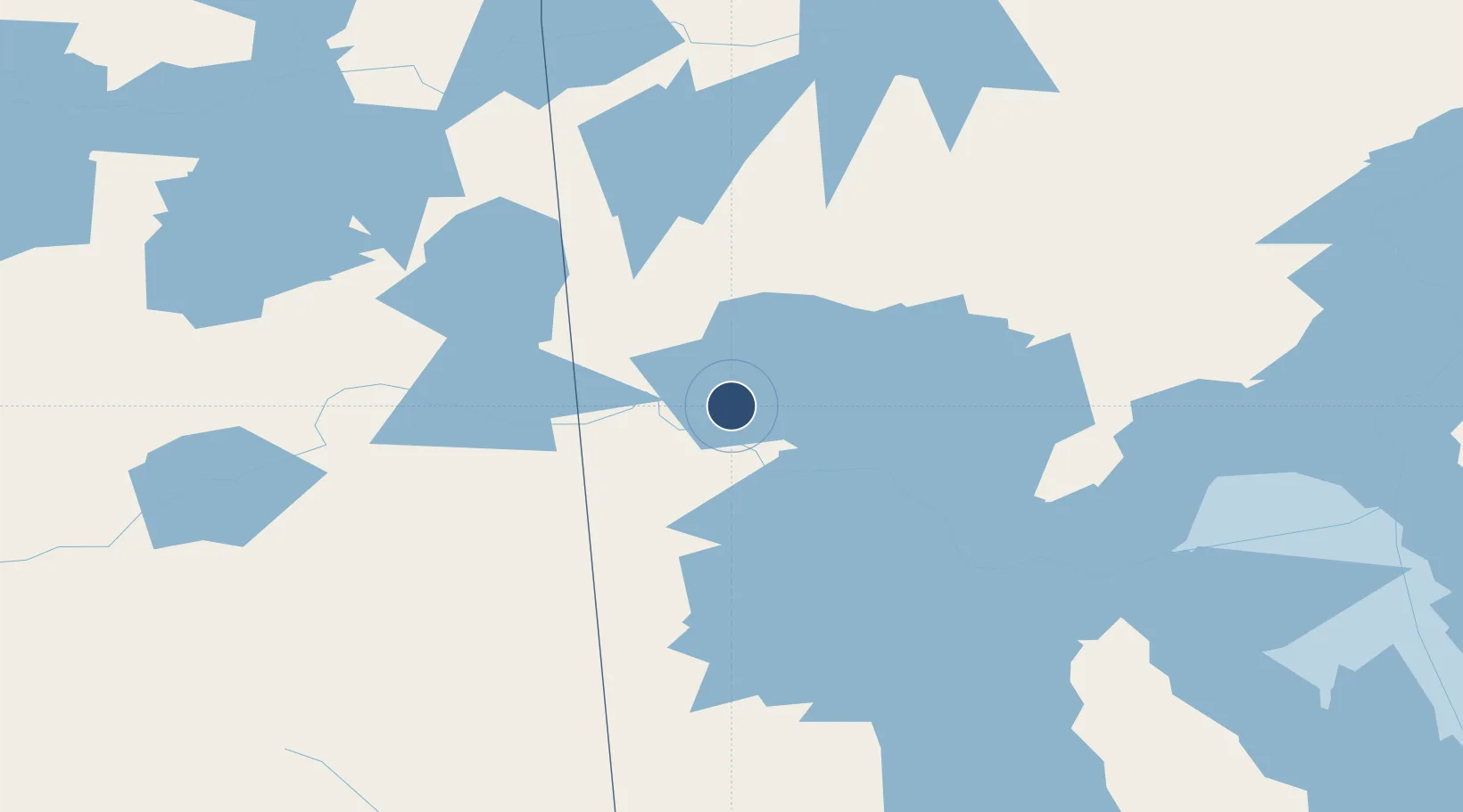
53.9714°, -101.0910°
5,901 ft
Longest runway
1
Runways
887 ft
Elevation

Runway & Layout

The Pas Airport runway & taxiway layout
Runway & taxiway layout — OpenStreetMap (ODbL) / OurAirports

Radio Frequencies

A/G
122.2 MHz
MF WINNIPEG RDO
CNTR
135.625 MHz
WINNIPEG CNTR
RCO
122.2 MHz
WINNIPEG RDO
OurAirports

Navaids

QD NDB The Pas 284 kHz
YQD VOR-DME The Pas 113.60 MHz
OurAirports

Runways · 1

RunwayDimensions SurfaceTrue headingLit
13/31 5,901 × 150ft Asphalt 133°
OurAirports

Airport Specifications

IATA code
YQD
OurAirports
ICAO code
CYQD
OurAirports
Airport class
Medium airport
OurAirports
Scheduled service
Yes
OurAirports
Runway surface
Asphalt
OurAirports
Served city
The Pas
OurAirports

Location

Location of CYQD
Natural Earth 10m (public domain) · Manitoba · CYQD · 53.97, -101.09GoogleOSMYandex

Nearby Logistics Neighbours

Airports
  1. 1Flin Flon Airport87 km
  2. 2Pukatawagan Airport198 km
  3. 3Nipawin Airport205 km
  4. 4Swan River Airport206 km
  5. 5Jenpeg Airport207 km
Nearest neighbours — logibook spatial index (haversine) over the source coordinates
Cities
  1. 1Aylsham199 km
  2. 2Ballyhahil203 km
  3. 3Zenon Park204 km
  4. 4Porcupine Plain209 km
  5. 5Pine River248 km
Nearest neighbours — logibook spatial index (haversine) over the source coordinates
Ports
  1. 1Churchill682 km
  2. 2Two Harbors1020 km
  3. 3Grand Marais1022 km
  4. 4Duluth1022 km
  5. 5Superior1027 km
Nearest neighbours — logibook spatial index (haversine) over the source coordinates
Trade Zones
  1. 1Global Transportation Hub Authority464 km
  2. 2Winnipegs Centreport Canada528 km
  3. 3FTZ No. 103 Grand Forks727 km
  4. 4FTZ No. 259 Koochiching County789 km
  5. 5Port Alberta - Edmonton FTZ803 km
Nearest neighbours — logibook spatial index (haversine) over the source coordinates
DatabookThe Record of Consolidated Knowledge
Canada beyond logistics?
Browse databook

All Sources

AirportsOurAirports
Public domain
Portsthe NGA World Port Index
Public domain (US gov)
LocationsUN/LOCODE
UN/LOCODE — free
Trade Zonesthe World Bank SEZ database
CC BY 4.0
Trade ZonesOpen Zone Map
CC BY
InfrastructureOpenStreetMap
ODbL 1.0
← Canada airports