Transport Functions
Rail
Road
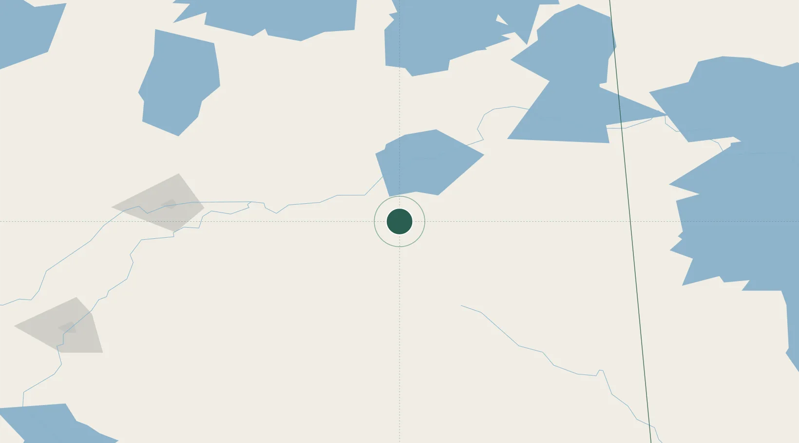
Hub Profile
Place type
Populated place
Region
Saskatchewan
Time zone
America/Regina
Elevation
377 m
Location
Nearby Logistics Neighbours
Cities
- 1Aylsham13 km
- 2Star City44 km
- 3Melfort61 km
- 4Porcupine Plain62 km
- 5Naicam89 km
Ports
- 1Churchill870 km
- 2Duluth1088 km
- 3Superior1092 km
- 4Two Harbors1094 km
- 5Grand Marais1118 km
Airports
- 1Nipawin Airport34 km
- 2Prince Albert Glass Field128 km
- 3Swan River Airport201 km
- 4The Pas Airport204 km
- 5Yorkton Municipal Airport219 km
Trade Zones
- 1Global Transportation Hub Authority299 km
- 2Winnipegs Centreport Canada578 km
- 3Port Alberta - Edmonton FTZ637 km
- 4FTZ No. 103 Grand Forks738 km
- 5Calgary Region Inland Port738 km
DatabookThe Record of Consolidated Knowledge
Canada beyond logistics?