Small airport · Canada
Salluit AirportCYZG
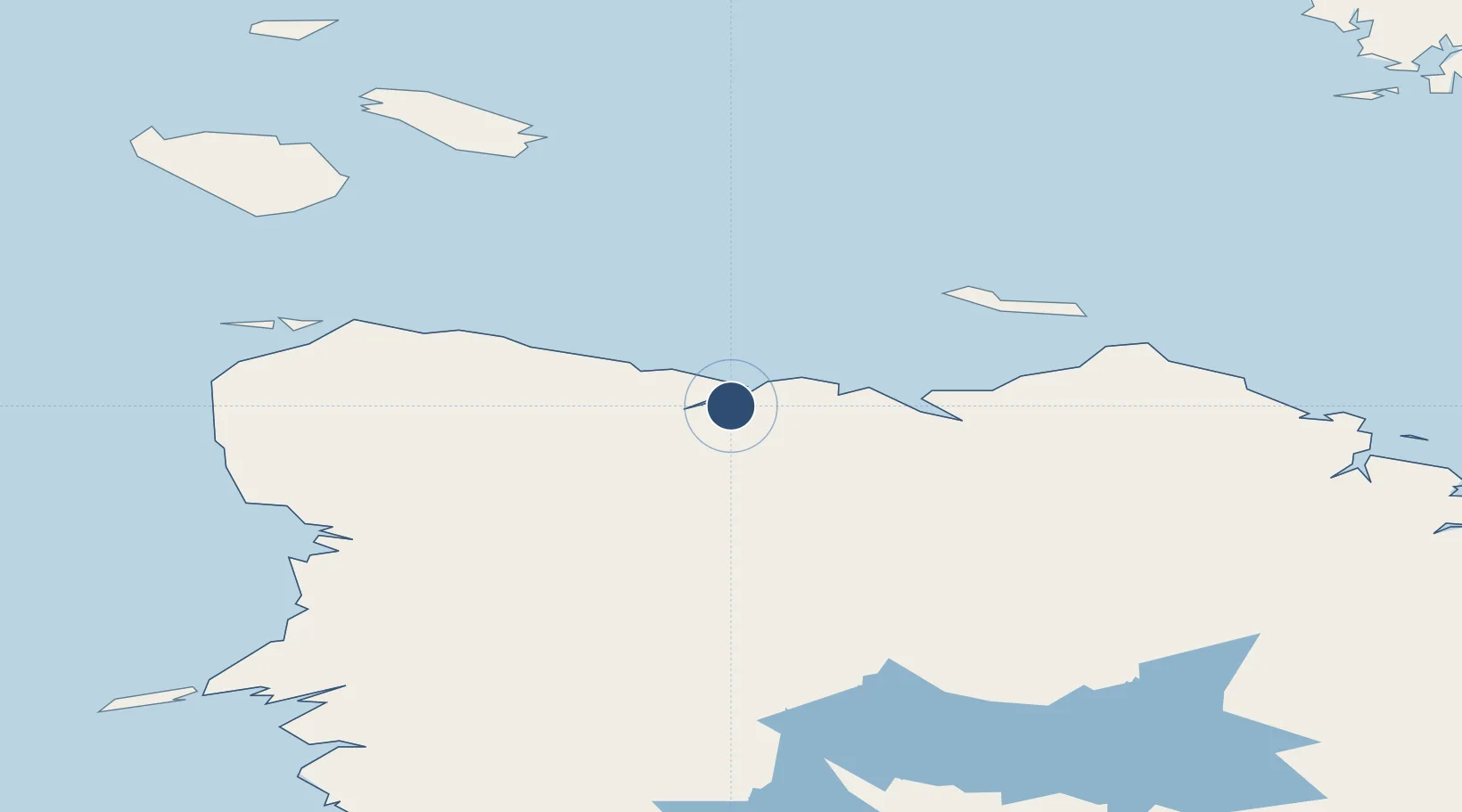
62.1794°, -75.6672°
3,523 ft
Longest runway
1
Runways
743 ft
Elevation
Runway & Layout

Runways · 1
| Runway | Dimensions | Surface | True heading | Lit |
|---|---|---|---|---|
| 03/21 | 3,523 × 100ft | Gravel | 029° | — |
Airport Specifications
IATA code
YZG
ICAO code
CYZG
Airport class
Small airport
Scheduled service
Yes
Runway surface
Gravel
Served city
Salluit
Location
Nearby Logistics Neighbours
Airports
- 1Ivujivik Airport120 km
- 2Akulivik Airport201 km
- 3Kangiqsujuaq (Wakeham Bay) Airport207 km
- 4Cape Dorset Airport232 km
- 5Puvirnituq Airport252 km
Cities
- 1Kovik Bay129 km
- 2Iqaluit401 km
- 3Coral Harbour434 km
- 4Breezewood524 km
- 5Tórshavn553 km
Ports
- 1Deception Bay51 km
- 2Pangnirtung650 km
- 3Nain1006 km
- 4Pond Inlet1176 km
- 5Goose Bay1332 km
Trade Zones
- 1FTZ No. 179 Madawaska1720 km
- 2Québec City FTZ1729 km
- 3FTZ No. 016 Sault Ste. Marie1831 km
- 4Greater Montreal Free Zone Center1859 km
- 5FTZ No. 259 Koochiching County1931 km
DatabookThe Record of Consolidated Knowledge
Canada beyond logistics?