Transport Functions
Rail
Road
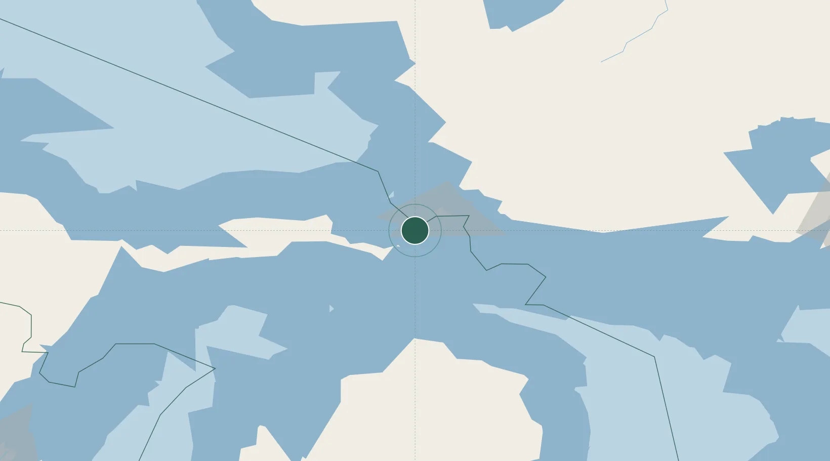
Hub Profile
Place type
Populated place
Region
Michigan
Time zone
America/Detroit
Elevation
200 m
Location
Nearby Logistics Neighbours
Cities
- 1Kinross15 km
- 2Rudyard21 km
- 3Goulais River35 km
- 4Echo Bay39 km
- 5Brevort56 km
Ports
- 1Sault Ste Marie20 km
- 2Sault Ste Marie21 km
- 3Goulais Bay37 km
- 4Mackinac Island61 km
- 5Bruce Mines62 km
Airports
Trade Zones
- 1FTZ No. 016 Sault Ste. Marie15 km
- 2FTZ No. 167 Brown County362 km
- 3FTZ No. 189 Kent Ottawa/Muskegon Counties377 km
- 4FTZ No. 284 Genesee County381 km
- 5FTZ No. 140 Flint382 km
DatabookThe Record of Consolidated Knowledge
United States beyond logistics?