Medium airport · Canada
Whitecourt AirportCYZU
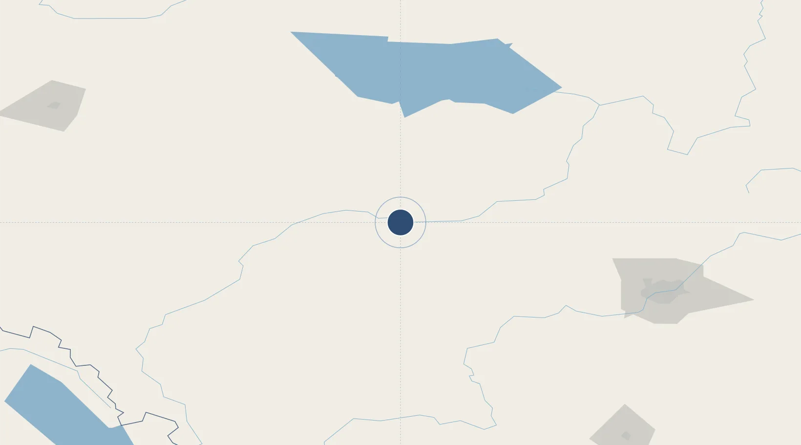
54.1439°, -115.7870°
5,800 ft
Longest runway
1
Runways
2,567 ft
Elevation
Runway & Layout

Radio Frequencies
A/G
122.3 MHz
MF WHITECOURT RDO
CNTR
132.05 MHz
EDMONTON CNTR
FSS
122.3 MHz
RDO
RCO
126.7 MHz
EDMONTON RDO
Navaids
YZU VOR-DME Whitecourt 112.50 MHz
Runways · 1
| Runway | Dimensions | Surface | True heading | Lit |
|---|---|---|---|---|
| 11/29 | 5,800 × 100ft | Asphalt | 125° | ✓ |
Airport Specifications
IATA code
YZU
ICAO code
CYZU
Airport class
Medium airport
Scheduled service
Yes
Runway surface
Asphalt
Served city
Whitecourt
Location
Nearby Logistics Neighbours
Airports
- 1Edson Airport77 km
- 2Slave Lake Airport143 km
- 3Edmonton International Airport172 km
- 4Grande Prairie Airport230 km
- 5Red Deer Regional Airport252 km
Cities
- 1Whitecourt7 km
- 2Mayerthorpe48 km
- 3Peers55 km
- 4Wildwood69 km
- 5Entwistle82 km
Ports
- 1Mission City712 km
- 2Port Coquitlam727 km
- 3Port Moody728 km
- 4Fraser Mills732 km
- 5New Westminster737 km
Trade Zones
- 1Port Alberta - Edmonton FTZ171 km
- 2Calgary Region Inland Port363 km
- 3PrInce George Logistics Park455 km
- 4FTZ No. 242 Boundary County604 km
- 5FTZ No. 187 Toole County662 km
DatabookThe Record of Consolidated Knowledge
Canada beyond logistics?