Medium airport · Canada
Inuvik Mike Zubko AirportCYEV
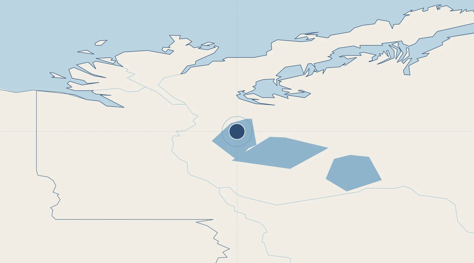
68.3042°, -133.4830°
6,000 ft
Longest runway
1
Runways
224 ft
Elevation
Runway & Layout

Radio Frequencies
ATIS
128.5 MHz
Lighted hrs
MF
122.3 MHz
Inuvik Radio, 5nm below 3200
PAL
132.4 MHz
Edmonton Control
RADIO
122.3 MHz
RCO
123.375 MHz
Artic Radio (FISE)
VDF
122.3 MHz
Navaids
EV NDB Inuvik 254 kHz
IEV DME Inuvik 110.30 MHz
YEV VOR-DME Inuvik 112.50 MHz
Runways · 1
| Runway | Dimensions | Surface | True heading | Lit |
|---|---|---|---|---|
| 06/24 | 6,000 × 150ft | Asphalt | 086° | ✓ |
Airport Specifications
IATA code
YEV
ICAO code
CYEV
Airport class
Medium airport
Scheduled service
Yes
Runway surface
Asphalt
Served city
Inuvik
Location
Nearby Logistics Neighbours
Airports
- 1Aklavik/Freddie Carmichael Airport63 km
- 2Fort Mcpherson Airport115 km
- 3Old Crow Airport278 km
- 4Fort Good Hope Airport309 km
- 5Tommy Kochon Airport342 km
Cities
- 1Herschel Island264 km
- 2Fort Franklin561 km
- 3Mould Bay997 km
- 4Valdez1000 km
- 5Orca1037 km
Trade Zones
- 1FTZ No. 195 Fairbanks735 km
- 2FTZ No. 108 Valdez1001 km
- 3FTZ No. 160 Anchorage1099 km
- 4FTZ No. 232 Kodiak1565 km
- 5PrInce George Logistics Park1695 km
DatabookThe Record of Consolidated Knowledge
Canada beyond logistics?