Medium airport · Canada
Fort Nelson AirportCYYE
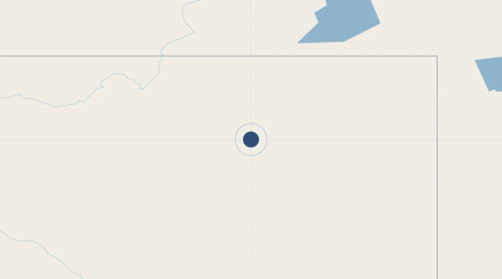
58.8364°, -122.5970°
6,400 ft
Longest runway
2
Runways
1,253 ft
Elevation
Runway & Layout

Radio Frequencies
ATIS
125.65 MHz
MF
122.5 MHz
Nelson Radio, 5nm below 4300ASL
PAL
132.87 MHz
Edmonton Centre
PAL
134.85 MHz
Edmonton Centre
PAL
290.6 MHz
Edmonton Centre
RADIO
122.5 MHz
Nelson Radio, (E)
RCO
123.55 MHz
Edmonton Radio, (E)
VDF
122.5 MHz
Navaids
YE NDB Fort Nelson 382 kHz
YYE VOR-DME Fort Nelson 112.90 MHz
Runways · 2
| Runway | Dimensions | Surface | True heading | Lit |
|---|---|---|---|---|
| 04/22 | 6,400 × 200ft | Asphalt | 057° | ✓ |
| 08/26 | 3,575 × 77ft | Asphalt | 102° | — |
Airport Specifications
IATA code
YYE
ICAO code
CYYE
Airport class
Medium airport
Scheduled service
Yes
Runway surface
Asphalt
Served city
Fort Nelson
Location
Nearby Logistics Neighbours
Airports
- 1Fort Liard Airport163 km
- 2Rainbow Lake Airport188 km
- 3Fort Ware Airport238 km
- 4Tsay Keh Airport256 km
- 5Ospika Airport298 km
Cities
- 1Bay Tree372 km
- 2Spirit River409 km
- 3Grimshaw418 km
- 4Hythe431 km
- 5Sexsmith452 km
Trade Zones
- 1PrInce George Logistics Park547 km
- 2Port Alberta - Edmonton FTZ813 km
- 3Calgary Region Inland Port1021 km
- 4FTZ Vancouver Island1067 km
- 5FTZ No. 128 Whatcom County1115 km
DatabookThe Record of Consolidated Knowledge
Canada beyond logistics?