Medium airport · Canada
Golden AirportCYGE
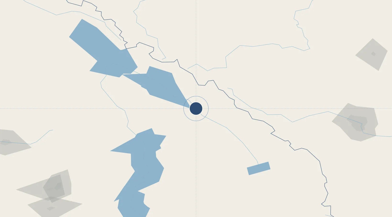
51.2992°, -116.9820°
4,500 ft
Longest runway
1
Runways
2,575 ft
Elevation
Runway & Layout

Radio Frequencies
RCO
126.7 MHz
PACIFIC RDO
UNIC
122.8 MHz
ATF/UNICOM
Runways · 1
| Runway | Dimensions | Surface | True heading | Lit |
|---|---|---|---|---|
| 14/32 | 4,500 × 75ft | Asphalt | 161° | — |
Airport Specifications
ICAO code
CYGE
Airport class
Medium airport
Scheduled service
No
Runway surface
Asphalt
Served city
Golden
Location
Nearby Logistics Neighbours
Airports
- 1Revelstoke Airport92 km
- 2Shuswap Regional Airport172 km
- 3Blue River Airport183 km
- 4Calgary / Springbank Airport183 km
- 5Vernon Regional Airport203 km
Cities
- 1Harrogate52 km
- 2Lake Louise57 km
- 3Radium Hot Springs99 km
- 4Invermere110 km
- 5Exshaw130 km
Ports
- 1Mission City445 km
- 2Port Coquitlam471 km
- 3Port Moody475 km
- 4Fraser Mills477 km
- 5New Westminster482 km
Trade Zones
- 1Calgary Region Inland Port205 km
- 2FTZ No. 242 Boundary County284 km
- 3Port Alberta - Edmonton FTZ359 km
- 4FTZ No. 224 Spokane405 km
- 5FTZ No. 187 Toole County449 km
DatabookThe Record of Consolidated Knowledge
Canada beyond logistics?