UN/LOCODE hub · Canada
CARHP
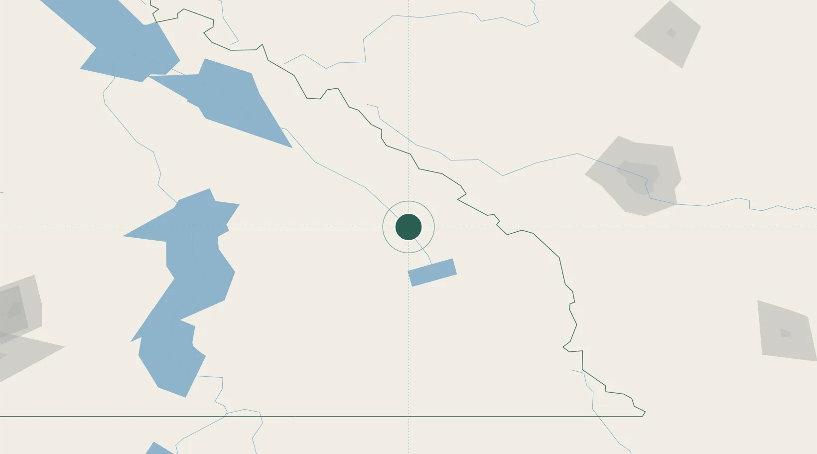
Radium Hot Springs
50.6167°, -116.0667°
1,339
Population
2
Transport functions
Transport Functions
Rail
Road
Hub Profile
Place type
Populated place
Region
British Columbia
Population
1,339
Time zone
America/Edmonton
Elevation
808 m
Location
Nearby Logistics Neighbours
Cities
- 1Invermere11 km
- 2Harrogate48 km
- 3Exshaw82 km
- 4Kananaskis83 km
- 5Lake Louise91 km
Ports
- 1Mission City473 km
- 2Port Coquitlam504 km
- 3Bellingham507 km
- 4Port Moody510 km
- 5Fraser Mills510 km
Airports
Trade Zones
- 1Calgary Region Inland Port149 km
- 2FTZ No. 242 Boundary County215 km
- 3FTZ No. 224 Spokane343 km
- 4FTZ No. 187 Toole County352 km
- 5Port Alberta - Edmonton FTZ384 km
DatabookThe Record of Consolidated Knowledge
Canada beyond logistics?