Transport Functions
Rail
Road
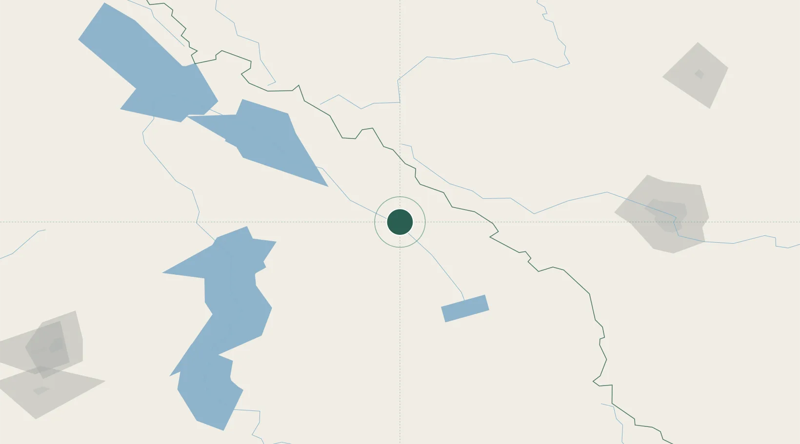
Hub Profile
Place type
Populated place
Region
British Columbia
Time zone
America/Edmonton
Elevation
836 m
Location
Nearby Logistics Neighbours
Cities
- 1Radium Hot Springs48 km
- 2Lake Louise53 km
- 3Invermere59 km
- 4Exshaw90 km
- 5Kananaskis93 km
Ports
- 1Mission City463 km
- 2Port Coquitlam492 km
- 3Port Moody497 km
- 4Fraser Mills498 km
- 5Bellingham501 km
Airports
Trade Zones
- 1Calgary Region Inland Port166 km
- 2FTZ No. 242 Boundary County250 km
- 3Port Alberta - Edmonton FTZ362 km
- 4FTZ No. 224 Spokane376 km
- 5FTZ No. 187 Toole County398 km
DatabookThe Record of Consolidated Knowledge
Canada beyond logistics?