Transport Functions
Rail
Road
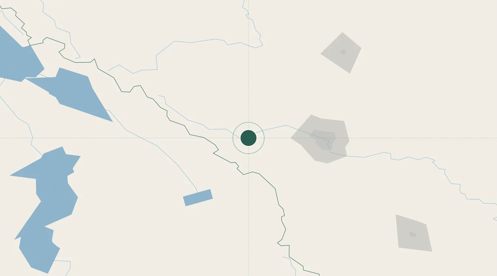
Hub Profile
Place type
Populated place
Region
Alberta
Population
449
Time zone
America/Edmonton
Elevation
1,304 m
Location
Nearby Logistics Neighbours
Cities
- 1Kananaskis2 km
- 2Balzac81 km
- 3Radium Hot Springs82 km
- 4Lake Louise83 km
- 5Calgary84 km
Ports
- 1Mission City550 km
- 2Port Coquitlam579 km
- 3Port Moody585 km
- 4Bellingham586 km
- 5Fraser Mills586 km
Airports
Trade Zones
- 1Calgary Region Inland Port76 km
- 2FTZ No. 242 Boundary County284 km
- 3Port Alberta - Edmonton FTZ311 km
- 4FTZ No. 187 Toole County342 km
- 5FTZ No. 224 Spokane413 km
DatabookThe Record of Consolidated Knowledge
Canada beyond logistics?