Transport Functions
Rail
Road
Multimodal
Hub Profile
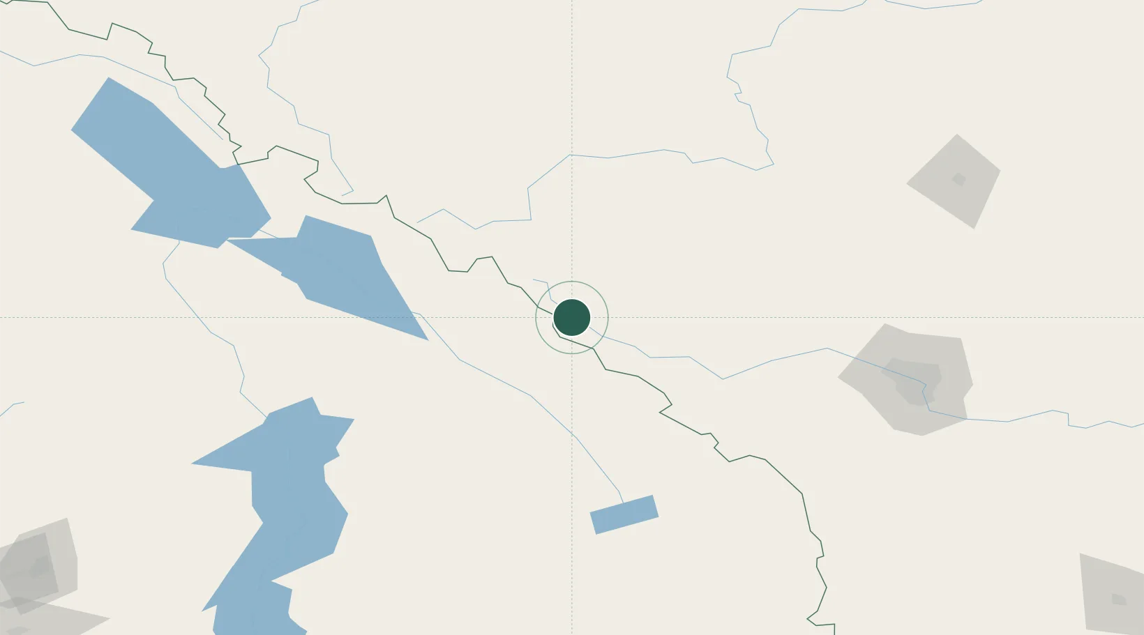
Place type
Populated place
Region
Alberta
Population
1,000
Time zone
America/Edmonton
Elevation
1,538 m
Location
Nearby Logistics Neighbours
Cities
- 1Harrogate53 km
- 2Exshaw83 km
- 3Kananaskis85 km
- 4Radium Hot Springs91 km
- 5Invermere103 km
Ports
- 1Mission City501 km
- 2Port Coquitlam527 km
- 3Port Moody532 km
- 4Fraser Mills533 km
- 5New Westminster538 km
Airports
Trade Zones
- 1Calgary Region Inland Port153 km
- 2FTZ No. 242 Boundary County302 km
- 3Port Alberta - Edmonton FTZ312 km
- 4FTZ No. 187 Toole County419 km
- 5FTZ No. 224 Spokane429 km
DatabookThe Record of Consolidated Knowledge
Canada beyond logistics?