Small airport · Canada
Wapekeka AirportCKB6
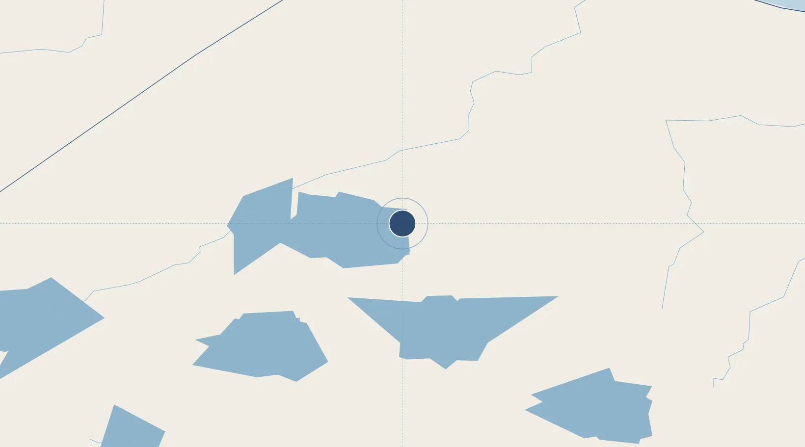
53.8492°, -89.5794°
3,600 ft
Longest runway
1
Runways
712 ft
Elevation
Runway & Layout

Runways · 1
| Runway | Dimensions | Surface | True heading | Lit |
|---|---|---|---|---|
| 12/30 | 3,600 × 100ft | GRVL | — | — |
Airport Specifications
IATA code
YAX
ICAO code
CKB6
Airport class
Small airport
Scheduled service
Yes
Runway surface
GRVL
Served city
Angling Lake
Location
Nearby Logistics Neighbours
Airports
- 1Big Trout Lake Airport21 km
- 2Kasabonika Airport72 km
- 3Kingfisher Lake Airport95 km
- 4Bearskin Lake Airport96 km
- 5Wunnumin Lake Airport108 km
Cities
- 1Lansdowne214 km
- 2Island Lake334 km
- 3Red Lake421 km
- 4Wellington497 km
- 5Red Rock552 km
Ports
- 1Thunder Bay606 km
- 2Churchill618 km
- 3Heron Bay621 km
- 4Grand Marais680 km
- 5Michipicoten731 km
Trade Zones
- 1Winnipegs Centreport Canada680 km
- 2FTZ No. 259 Koochiching County702 km
- 3FTZ No. 051 Duluth810 km
- 4FTZ No. 103 Grand Forks847 km
- 5FTZ No. 016 Sault Ste. Marie897 km
DatabookThe Record of Consolidated Knowledge
Canada beyond logistics?