Diversified Zone · China

Anlu Economic Development Zone Active
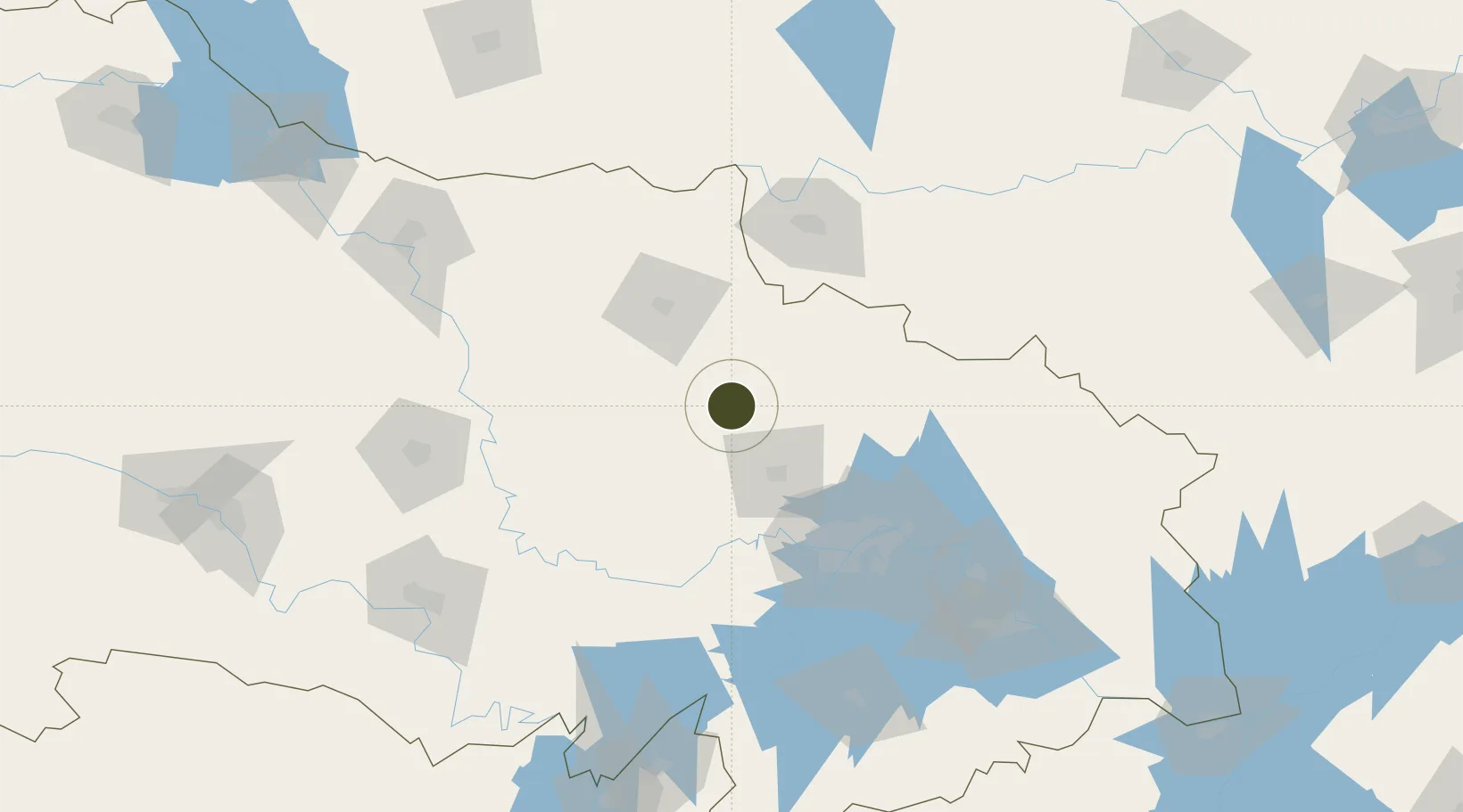
31.2629°, 113.7104°
3,200 ha
Zone area
93.3 km
Nearest port
39.4 km
Nearest airport

Gateway access

Nearest neighbours — logibook spatial index (haversine) over the source coordinates

Zone profile

Zone type
Diversified Zone
Open Zone Map
Region
Hubei
Open Zone Map
Status
Active
Open Zone Map
Management
Public
Open Zone Map
Operator
Working Committee of Anlu Economic Development Zone
Open Zone Map
Legal framework
Industrial Development Plan of Anlu Economic Development Zone of Hubei Province
Open Zone Map

Location

Location of ozm-894
Natural Earth 10m (public domain) · Hubei · ozm-894 · 31.26, 113.71GoogleOSMYandex

Nearby Logistics Neighbours

Ports
  1. 1Hankow93 km
  2. 2Nanjing486 km
  3. 3Zhenjiang551 km
  4. 4Yangzhou552 km
  5. 5Gaogang591 km
Nearest neighbours — logibook spatial index (haversine) over the source coordinates
Airports
  1. 1Xiaogan Air Base39 km
  2. 2Wuhan Tianhe International Airport72 km
  3. 3Paozhuwan Air Base110 km
  4. 4Wuhan Hannan Municipal Airport117 km
  5. 5Shanpo Air Base143 km
Nearest neighbours — logibook spatial index (haversine) over the source coordinates
Cities
  1. 1Hankou92 km
  2. 2Wuhan93 km
  3. 3Xinyang102 km
  4. 4Wulidian111 km
  5. 5Ezhou143 km
Nearest neighbours — logibook spatial index (haversine) over the source coordinates
Trade Zones
  1. 1Xiaochang Economic Development Zone28 km
  2. 2Tieli Economic Development Zone55 km
  3. 3Jingshan Economic Development Zone60 km
  4. 4Hongan High-tech Industrial Park86 km
  5. 5Jianghan Economic Development Zone87 km
Nearest neighbours — logibook spatial index (haversine) over the source coordinates
DatabookThe Record of Consolidated Knowledge
China beyond logistics?
Browse databook

All Sources

Trade ZonesOpen Zone Map
CC BY
Portsthe NGA World Port Index
Public domain (US gov)
AirportsOurAirports
Public domain
LocationsUN/LOCODE
UN/LOCODE — free
← China trade zones