Transport Functions
Port
Hub Profile
Place type
Populated place
Region
Henan
Population
1,230,042
Time zone
Asia/Shanghai
Elevation
89 m
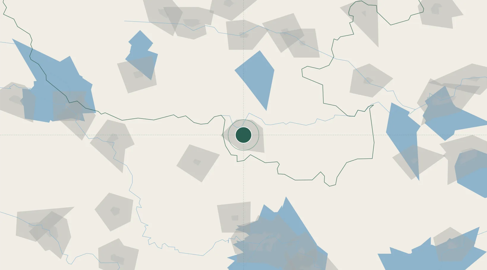
Location
Nearby Logistics Neighbours
Airports
- 1Xinyang Minggang Airport45 km
- 2Xiaogan Air Base132 km
- 3Wuhan Tianhe International Airport152 km
- 4Nanyang Jiangying Airport164 km
- 5Xiangyang Liuji Airport166 km
DatabookThe Record of Consolidated Knowledge
China beyond logistics?