Seaplane base · Canada

Bedwell Harbour Seaplane BaseCAB3

48.7500°, -123.2330°

Runway & Layout

Bedwell Harbour Seaplane Base runway & taxiway layout
Runway & taxiway layout — OpenStreetMap (ODbL) / OurAirports

Airport Specifications

IATA code
YBW
OurAirports
ICAO code
CAB3
OurAirports
Airport class
Seaplane base
OurAirports
Scheduled service
Yes
OurAirports
Served city
Bedwell Harbour
OurAirports

Location

Location of CAB3
Natural Earth 10m (public domain) · British Columbia · CAB3 · 48.75, -123.23GoogleOSMYandex

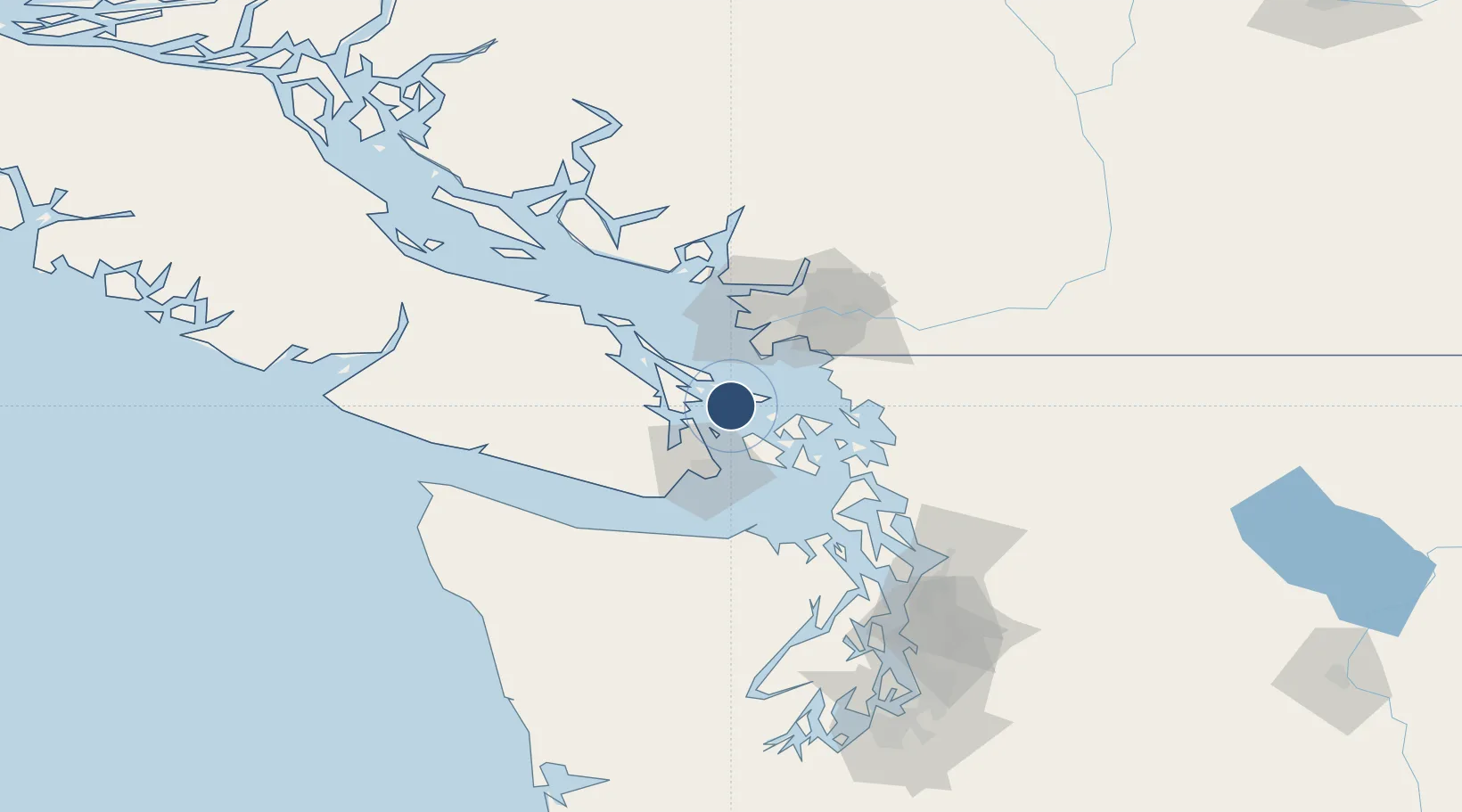
Nearby Logistics Neighbours

Airports
  1. 1Lyall Harbour Seaplane Base6 km
  2. 2Stuart Island West Airport7 km
  3. 3Port Washington Seaplane Base9 km
  4. 4Stuart Island Airpark10 km
  5. 5Mayne Island Seaplane Base12 km
Nearest neighbours — logibook spatial index (haversine) over the source coordinates
Cities
  1. 1Mengkofen18 km
  2. 2Brentwood Bay24 km
  3. 3Cobble Hill28 km
  4. 4Point Roberts29 km
  5. 5Thawwassen30 km
Nearest neighbours — logibook spatial index (haversine) over the source coordinates
Ports
  1. 1Lyall Harbor6 km
  2. 2Roche Harbor16 km
  3. 3Sidney16 km
  4. 4Ganges21 km
  5. 5Orcas28 km
Nearest neighbours — logibook spatial index (haversine) over the source coordinates
Trade Zones
  1. 1FTZ No. 128 Whatcom County51 km
  2. 2FTZ No. 129 Bellingham51 km
  3. 3FTZ Vancouver Island56 km
  4. 4FTZ No. 085 Everett112 km
  5. 5FTZ No. 005 Seattle138 km
Nearest neighbours — logibook spatial index (haversine) over the source coordinates
DatabookThe Record of Consolidated Knowledge
Canada beyond logistics?
Browse databook

All Sources

AirportsOurAirports
Public domain
Portsthe NGA World Port Index
Public domain (US gov)
LocationsUN/LOCODE
UN/LOCODE — free
Trade Zonesthe World Bank SEZ database
CC BY 4.0
Trade ZonesOpen Zone Map
CC BY
InfrastructureOpenStreetMap
ODbL 1.0
← Canada airports