UN/LOCODE hub · Malaysia
MYPET
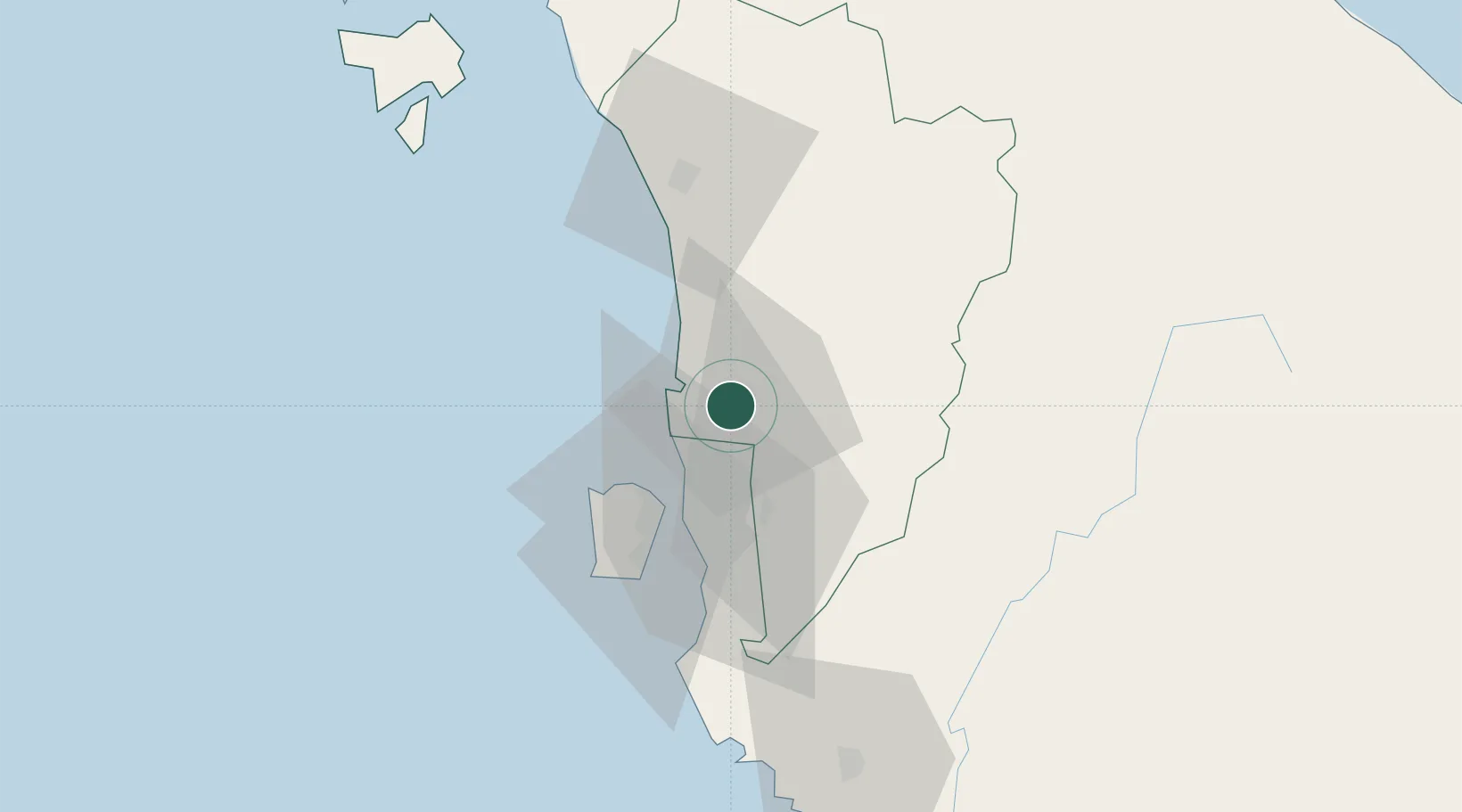
Sungai Petani
5.6333°, 100.4833°
544,851
Population
2
Transport functions
Transport Functions
Rail
Road
Hub Profile
Place type
Populated place
Region
Kedah
Population
544,851
Time zone
Asia/Kuala_Lumpur
Elevation
17 m
Location
Nearby Logistics Neighbours
Cities
- 1Bedong10 km
- 2Merbok12 km
- 3Kelang Baharu12 km
- 4Penang (Georgetown)24 km
- 5Butterworth26 km
Ports
- 1Pulau Pinang28 km
- 2Port Langkawi119 km
- 3Lumut157 km
- 4Pattani172 km
- 5Songkhla Harbor176 km
Airports
Trade Zones
DatabookThe Record of Consolidated Knowledge
Malaysia beyond logistics?