Transport Functions
Road
Multimodal
Hub Profile
Place type
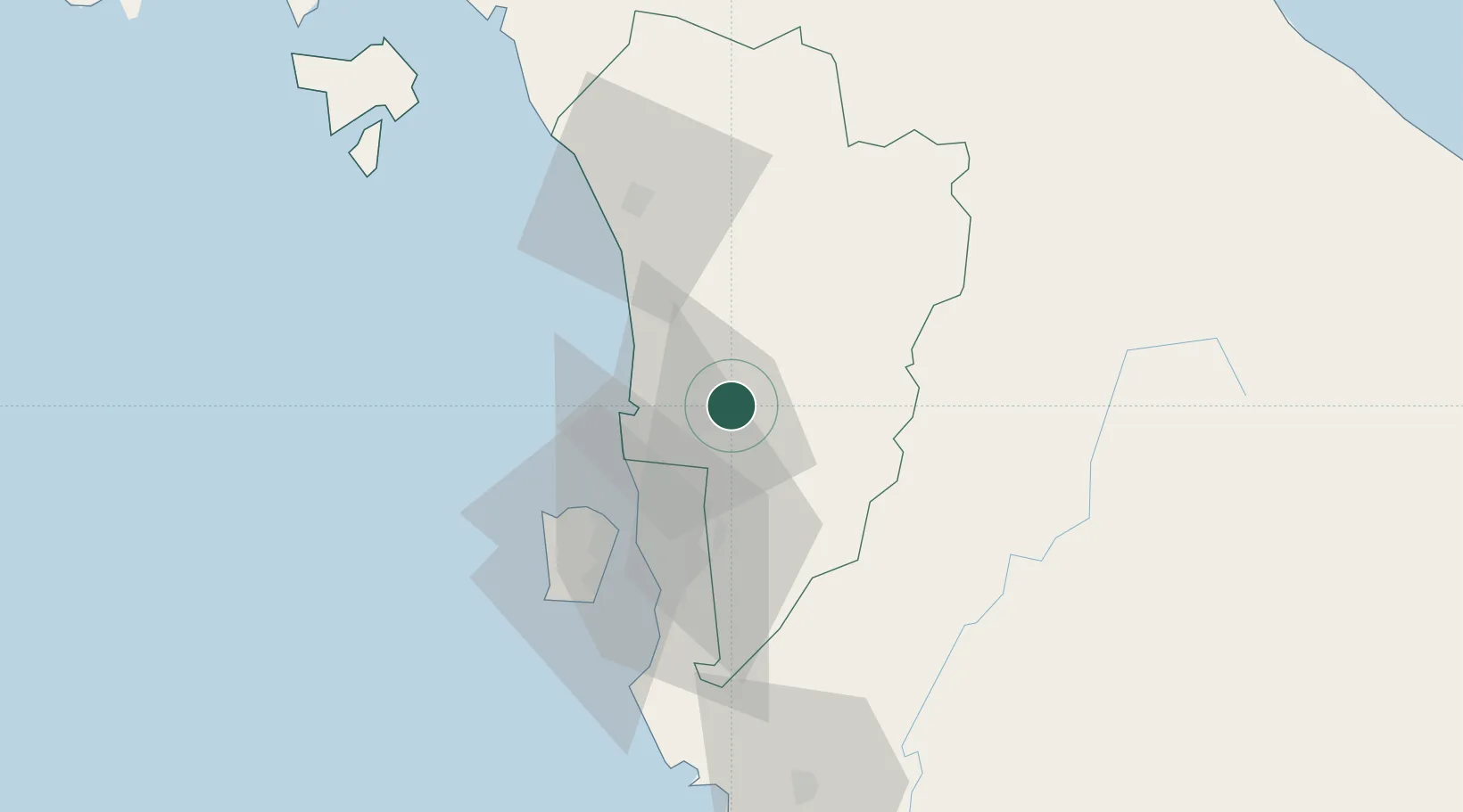
Populated place
Region
Kedah
Time zone
Asia/Kuala_Lumpur
Elevation
51 m
Location
Nearby Logistics Neighbours
Cities
- 1Bedong8 km
- 2Sungai Petani12 km
- 3Merbok19 km
- 4Penang (Georgetown)35 km
- 5Butterworth36 km
Ports
- 1Pulau Pinang39 km
- 2Port Langkawi123 km
- 3Lumut161 km
- 4Pattani162 km
- 5Songkhla Harbor171 km
Airports
Trade Zones
DatabookThe Record of Consolidated Knowledge
Malaysia beyond logistics?