Medium airport · Greenland

Neerlerit Inaat AirportBGCO
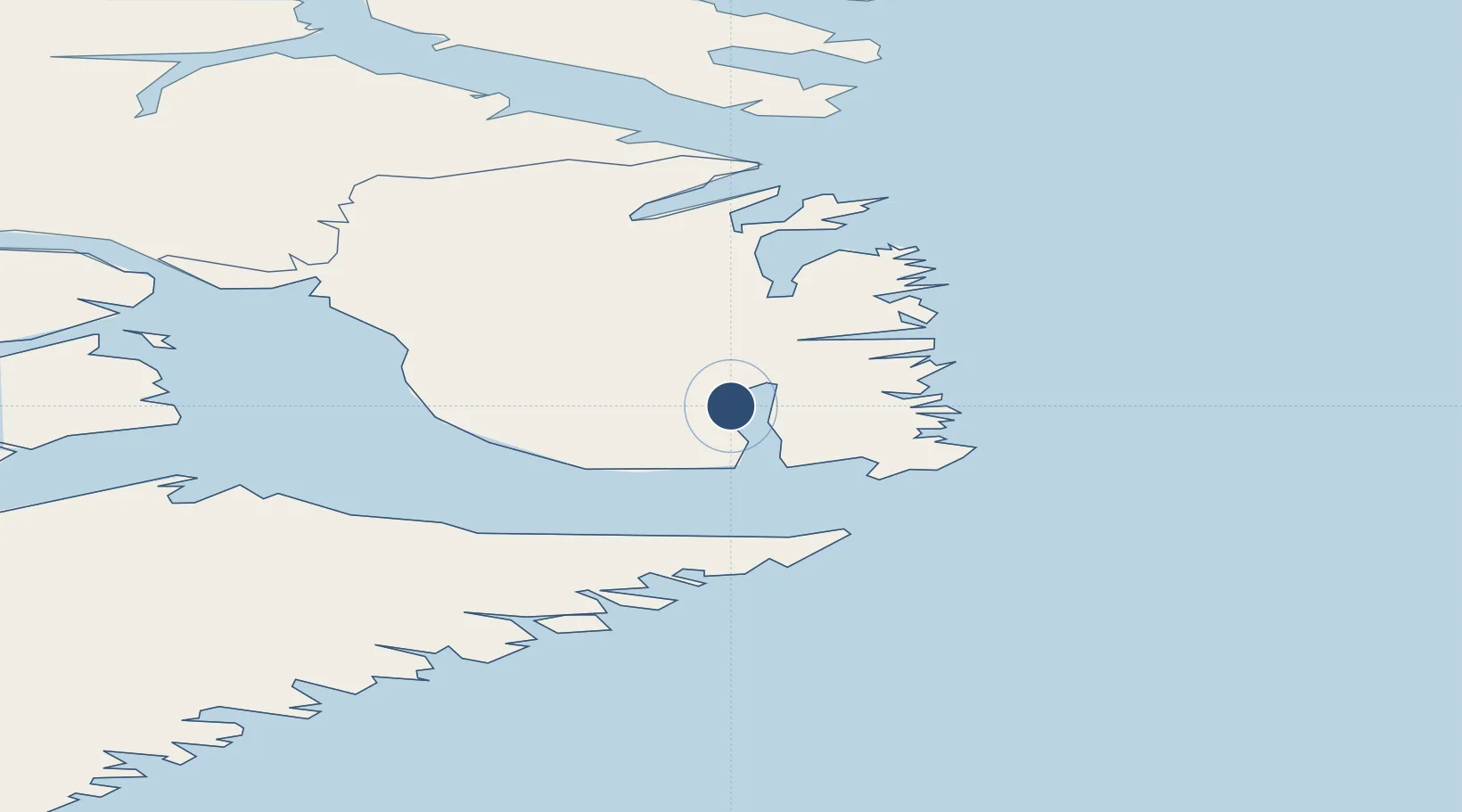
70.7431°, -22.6505°
3,281 ft
Longest runway
1
Runways
45 ft
Elevation

Runway & Layout

Neerlerit Inaat Airport runway & taxiway layout
Runway & taxiway layout — OpenStreetMap (ODbL) / OurAirports

Radio Frequencies

AFIS
118.1 MHz
OurAirports

Navaids

CP NDB Constable Pynt 386 kHz
OurAirports

Runways · 1

RunwayDimensions SurfaceTrue headingLit
18/36 3,281 × 98ft Gravel 157°
OurAirports

Airport Specifications

IATA code
CNP
OurAirports
ICAO code
BGCO
OurAirports
Airport class
Medium airport
OurAirports
Scheduled service
Yes
OurAirports
Runway surface
Gravel
OurAirports
Served city
Neerlerit Inaat
OurAirports

Location

Location of BGCO
Natural Earth 10m (public domain) · Kommuneqarfik Sermersooq · BGCO · 70.74, -22.65GoogleOSMYandex

Nearby Logistics Neighbours

Airports
  1. 1Ittoqqortoormiit Heliport38 km
  2. 2Grímsey Airport503 km
  3. 3Ísafjörður Airport521 km
  4. 4Siglufjörður Airport534 km
  5. 5Bildudalur Airport569 km
Nearest neighbours — logibook spatial index (haversine) over the source coordinates
Cities
  1. 1Bolungarvik513 km
  2. 2Skagaströnd554 km
  3. 3Hofsós554 km
  4. 4Dalvík557 km
  5. 5Arskogssandur563 km
Nearest neighbours — logibook spatial index (haversine) over the source coordinates
Ports
  1. 1Bolungarvik509 km
  2. 2Isafjordur520 km
  3. 3Siglufjorhurd533 km
  4. 4Thingeyri542 km
  5. 5Olafsfjordur545 km
Nearest neighbours — logibook spatial index (haversine) over the source coordinates
Trade Zones
  1. 1Prestwick Airport Free Zone1904 km
  2. 2Carlisle Kingmoor Park Enterprise Zone2001 km
  3. 3Isle of Man Free Zone and Business Park2052 km
  4. 4Dublin International Financial Services Centre2098 km
  5. 5Blackpool Enterprise Zone2120 km
Nearest neighbours — logibook spatial index (haversine) over the source coordinates
DatabookThe Record of Consolidated Knowledge
Greenland beyond logistics?
Browse databook

All Sources

AirportsOurAirports
Public domain
Portsthe NGA World Port Index
Public domain (US gov)
LocationsUN/LOCODE
UN/LOCODE — free
Trade Zonesthe World Bank SEZ database
CC BY 4.0
Trade ZonesOpen Zone Map
CC BY
InfrastructureOpenStreetMap
ODbL 1.0
← Greenland airports