Runway & Layout

Airport Specifications
IATA code
OBY
ICAO code
BGSC
Airport class
Heliport
Scheduled service
Yes
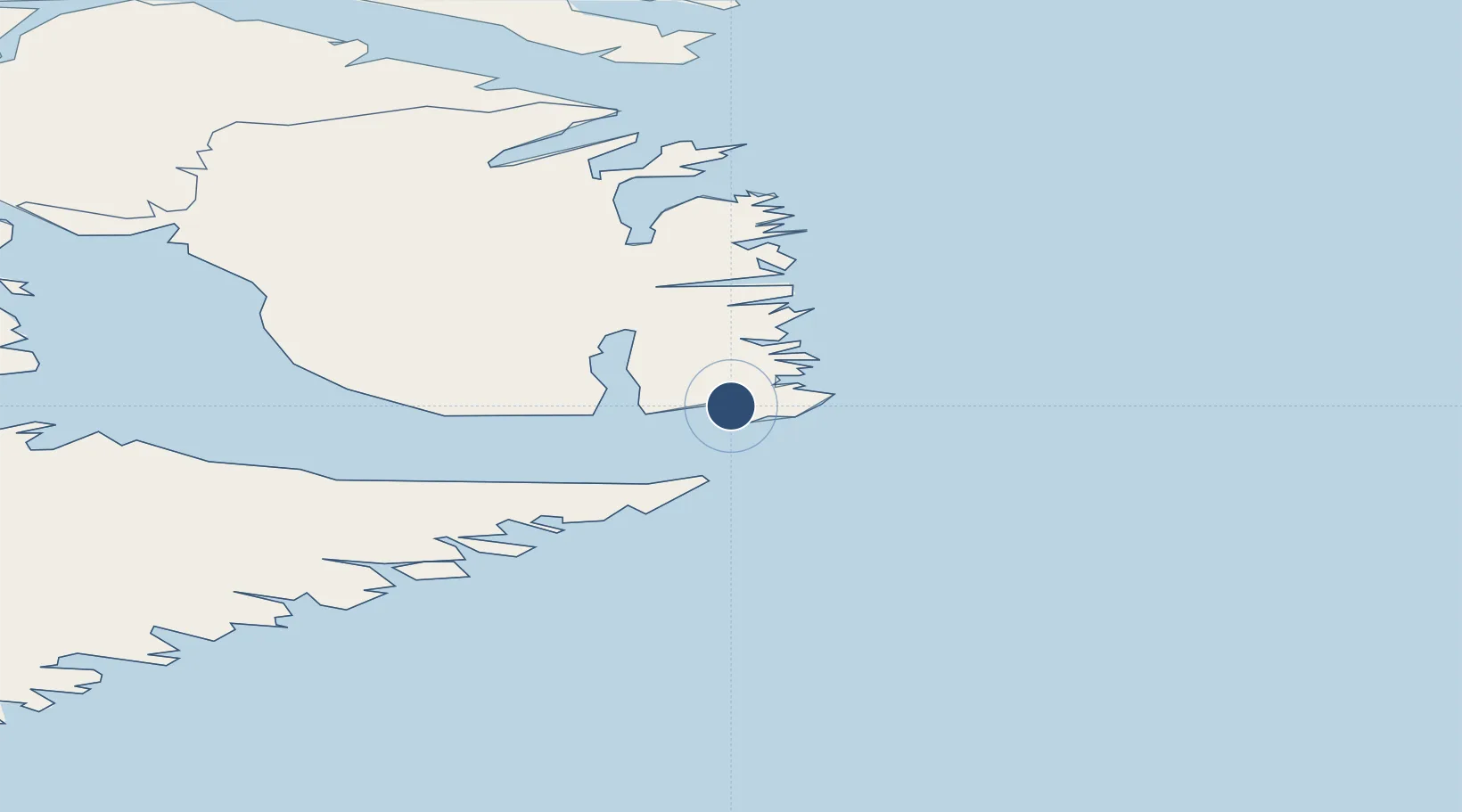
Served city
Ittoqqortoormiit
Location
Nearby Logistics Neighbours
Airports
- 1Neerlerit Inaat Airport38 km
- 2Grímsey Airport467 km
- 3Ísafjörður Airport495 km
- 4Siglufjörður Airport500 km
- 5Húsavík Airport538 km
Cities
- 1Bolungarvik487 km
- 2Raufarhöfn511 km
- 3Hofsós521 km
- 4Skagaströnd522 km
- 5Dalvík522 km
Ports
- 1Bolungarvik483 km
- 2Isafjordur494 km
- 3Siglufjorhurd498 km
- 4Olafsfjordur510 km
- 5Raufarhofn512 km
Trade Zones
DatabookThe Record of Consolidated Knowledge
Greenland beyond logistics?