Small airport · Brazil

Paulo Abdala AirportSSFB
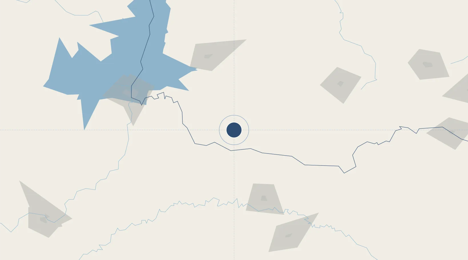
-26.0594°, -53.0638°
4,331 ft
Longest runway
1
Runways
2,113 ft
Elevation

Runway & Layout

Paulo Abdala Airport runway & taxiway layout
Runway & taxiway layout — OpenStreetMap (ODbL) / OurAirports

Runways · 1

RunwayDimensions SurfaceTrue headingLit
7/25 4,331 × 98ft Asphalt
OurAirports

Airport Specifications

IATA code
FBE
OurAirports
ICAO code
SSFB
OurAirports
Airport class
Small airport
OurAirports
Scheduled service
Yes
OurAirports
Runway surface
Asphalt
OurAirports
Served city
Francisco Beltrão
OurAirports

Location

Location of SSFB
Natural Earth 10m (public domain) · Paraná · SSFB · -26.06, -53.06GoogleOSMYandex

Nearby Logistics Neighbours

Airports
  1. 1Juvenal Loureiro Cardoso Airport41 km
  2. 2Coronel Adalberto Mendes da Silva Airport126 km
  3. 3Serafin Enoss Bertaso Airport126 km
  4. 4Cooperativa Lar Heliport133 km
  5. 5Cataratas Del Iguazú International Airport146 km
Nearest neighbours — logibook spatial index (haversine) over the source coordinates
Cities
  1. 1Dionísio Cerqueira59 km
  2. 2Santo Antônio do Sudoeste65 km
  3. 3Capanema86 km
  4. 4Santa Helena112 km
  5. 5Cascavel121 km
Nearest neighbours — logibook spatial index (haversine) over the source coordinates
Ports
  1. 1Sao Francisco443 km
  2. 2Itajai451 km
  3. 3Paranagua460 km
  4. 4Puerto De Asuncion471 km
  5. 5Porto Alegre477 km
Nearest neighbours — logibook spatial index (haversine) over the source coordinates
Trade Zones
  1. 1Zona Franca Puerto Iguazu Free Trade Zone159 km
  2. 2Zona Franca Internacional176 km
  3. 3Zona Franca Global177 km
  4. 4ZPE de Imbituba (SC)480 km
  5. 5ZPE de Bataguassú (MS)490 km
Nearest neighbours — logibook spatial index (haversine) over the source coordinates
DatabookThe Record of Consolidated Knowledge
Brazil beyond logistics?
Browse databook

All Sources

AirportsOurAirports
Public domain
Portsthe NGA World Port Index
Public domain (US gov)
LocationsUN/LOCODE
UN/LOCODE — free
Trade Zonesthe World Bank SEZ database
CC BY 4.0
Trade ZonesOpen Zone Map
CC BY
InfrastructureOpenStreetMap
ODbL 1.0
← Brazil airports