Transport Functions
Road
Multimodal
Hub Profile
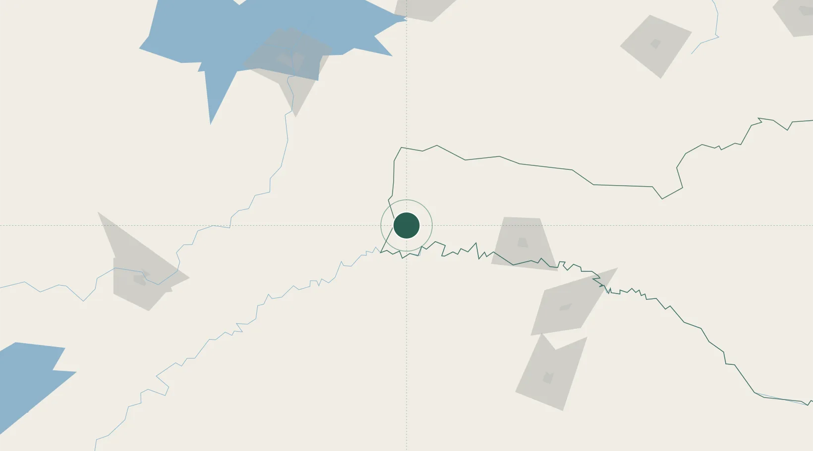
Place type
Populated place
Region
Santa Catarina
Population
2,425
Time zone
America/Sao_Paulo
Elevation
512 m
Location
Nearby Logistics Neighbours
Cities
- 1Dionísio Cerqueira76 km
- 2Santo Antônio do Sudoeste97 km
- 3Puerto Eldorado124 km
- 4Porto Mauá125 km
- 5Capanema142 km
Ports
- 1Porto Alegre416 km
- 2Puerto De Asuncion446 km
- 3Tramandai481 km
- 4Itajai494 km
- 5Sao Francisco501 km
Airports
- 1Aeroestación Yabotí56 km
- 2Serafin Enoss Bertaso Airport98 km
- 3Paulo Abdala Airport112 km
- 4Juvenal Loureiro Cardoso Airport122 km
- 5Luis Alberto Lehr Airport140 km
Trade Zones
- 1Zona Franca Puerto Iguazu Free Trade Zone176 km
- 2Zona Franca Internacional193 km
- 3Zona Franca Global194 km
- 4Rivera Free Zone484 km
- 5ZPE de Imbituba (SC)506 km
DatabookThe Record of Consolidated Knowledge
Brazil beyond logistics?