Diversified Zone · China

Maanshan Dangtu Economic Development Zone Active
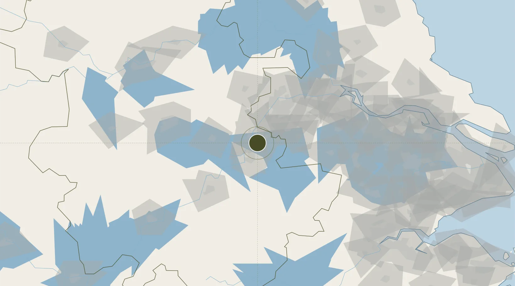
31.5697°, 118.4870°
6,300 ha
Zone area
62.3 km
Nearest port
40.3 km
Nearest airport

Gateway access

Nearest neighbours — logibook spatial index (haversine) over the source coordinates

Zone profile

Zone type
Diversified Zone
Open Zone Map
Region
Anhui
Open Zone Map
Status
Active
Open Zone Map
Management
Public
Open Zone Map
Operator
Management Committee of Dangtu Economic Development Zone
Open Zone Map
Legal framework
Anhui Dangtu Economic Development Zone was established on May 18, 2002 and upgraded to provincial development zone in May 2006.
Open Zone Map

Location

Location of ozm-962
Natural Earth 10m (public domain) · Anhui · ozm-962 · 31.57, 118.49GoogleOSMYandex

Nearby Logistics Neighbours

Ports
  1. 1Nanjing62 km
  2. 2Zhenjiang115 km
  3. 3Yangzhou118 km
  4. 4Changzhou148 km
  5. 5Gaogang151 km
Nearest neighbours — logibook spatial index (haversine) over the source coordinates
Airports
  1. 1Nanjing Lukou International Airport40 km
  2. 2Wuhu Xuanzhou Airport55 km
  3. 3Feidong Air Base87 km
  4. 4Chizhou Jiuhuashan Airport120 km
  5. 5Changzhou Benniu International Airport128 km
Nearest neighbours — logibook spatial index (haversine) over the source coordinates
Cities
  1. 1zhengpugang Pt12 km
  2. 2Ma'anshan17 km
  3. 3Wuhu24 km
  4. 4Wujiang33 km
  5. 5Chaohu60 km
Nearest neighbours — logibook spatial index (haversine) over the source coordinates
DatabookThe Record of Consolidated Knowledge
China beyond logistics?
Browse databook

All Sources

Trade ZonesOpen Zone Map
CC BY
Portsthe NGA World Port Index
Public domain (US gov)
AirportsOurAirports
Public domain
LocationsUN/LOCODE
UN/LOCODE — free
← China trade zones