Transport Functions
Port
Rail
Road
Hub Profile
Place type
Populated place
Region
Anhui
Population
138,463
Time zone
Asia/Shanghai
Elevation
11 m
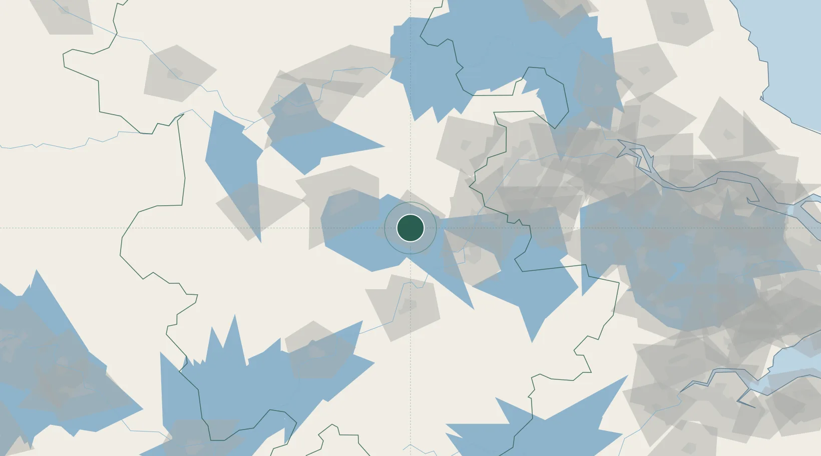
Location
Nearby Logistics Neighbours
Cities
- 1zhengpugang Pt51 km
- 2Quanjiao52 km
- 3Wuhu53 km
- 4Ma'anshan60 km
- 5Hefei61 km
Airports
DatabookThe Record of Consolidated Knowledge
China beyond logistics?