Export Processing Zone · China

Wuhu Jiujiang Economic & Technological Development Area Active
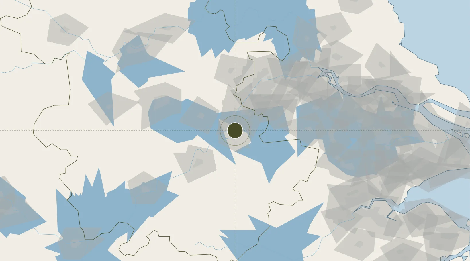
31.4142°, 118.3805°
12,168 ha
Zone area
82.2 km
Nearest port
43.9 km
Nearest airport

Gateway access

Nearest neighbours — logibook spatial index (haversine) over the source coordinates

Zone profile

Zone type
Export Processing Zone
Open Zone Map
Region
Anhui
Open Zone Map
Status
Active
Open Zone Map
Management
Public
Open Zone Map
Operator
Management Committee of Wuhu Economic and Technological Development Zone
Open Zone Map
Legal framework
Unavailable
Open Zone Map

Location

Location of ozm-1458
Natural Earth 10m (public domain) · Anhui · ozm-1458 · 31.41, 118.38GoogleOSMYandex

Nearby Logistics Neighbours

Ports
  1. 1Nanjing82 km
  2. 2Zhenjiang134 km
  3. 3Yangzhou137 km
  4. 4Changzhou164 km
  5. 5Gaogang169 km
Nearest neighbours — logibook spatial index (haversine) over the source coordinates
Airports
  1. 1Wuhu Xuanzhou Airport44 km
  2. 2Nanjing Lukou International Airport58 km
  3. 3Feidong Air Base88 km
  4. 4Chizhou Jiuhuashan Airport100 km
  5. 5Anji Tianzihu General Airport134 km
Nearest neighbours — logibook spatial index (haversine) over the source coordinates
Cities
  1. 1Wuhu4 km
  2. 2zhengpugang Pt24 km
  3. 3Ma'anshan35 km
  4. 4Wujiang51 km
  5. 5Chaohu54 km
Nearest neighbours — logibook spatial index (haversine) over the source coordinates
DatabookThe Record of Consolidated Knowledge
China beyond logistics?
Browse databook

All Sources

Trade ZonesOpen Zone Map
CC BY
Portsthe NGA World Port Index
Public domain (US gov)
AirportsOurAirports
Public domain
LocationsUN/LOCODE
UN/LOCODE — free
← China trade zones