UN/LOCODE hub · China
CNWHI
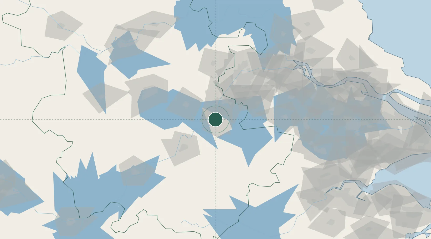
Wuhu
31.3920°, 118.3519°
1,598,165
Population
3
Transport functions
1
Container terminals
Transport Functions
Port
Rail
Road
Hub Profile
Place type
Provincial seat
Region
Anhui
Population
1,598,165
Time zone
Asia/Shanghai
Elevation
9 m
Logistics facilities
4
Container terminals
1
Location
Nearby Logistics Neighbours
Cities
- 1zhengpugang Pt27 km
- 2Ma'anshan38 km
- 3Chaohu53 km
- 4Wujiang54 km
- 5Xuancheng60 km
Airports
DatabookThe Record of Consolidated Knowledge
China beyond logistics?