Diversified Zone · China
Wuhu Comprehensive Bonded Zone Active
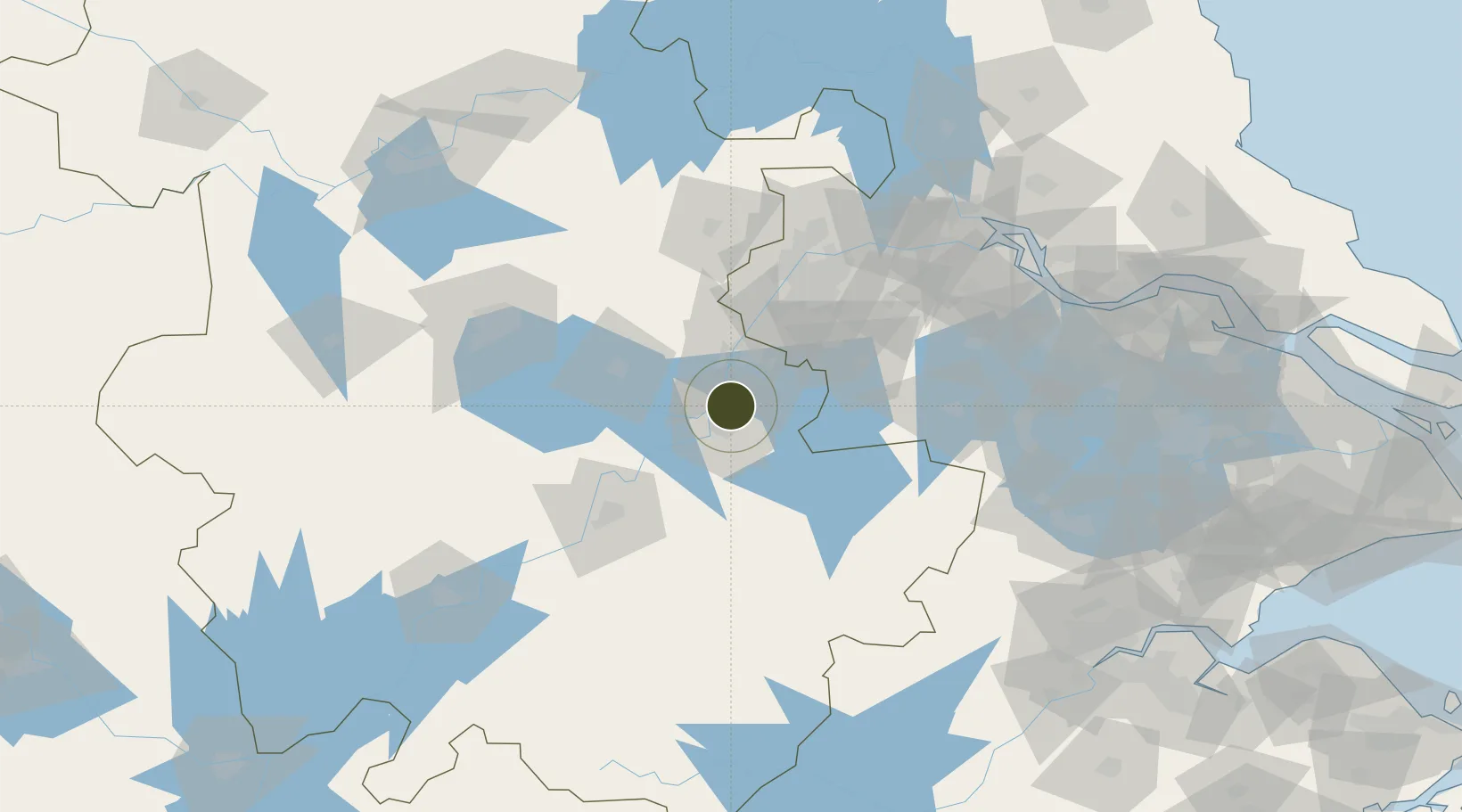
31.4514°, 118.4139°
217 ha
Zone area
77.1 km
Nearest port
45.5 km
Nearest airport
Gateway access
Zone profile
Zone type
Diversified Zone
Region
Anhui
Status
Active
Management
Public
Operator
Wuhu Economic and Technological Development Zone Business Department Working
Committee Management Committee Office
Legal framework
In September 2015, wuhu Export Processing Zone was officially approved by The State
Council for its integration and optimization into a comprehensive bonded zone
Location
Nearby Logistics Neighbours
Airports
- 1Wuhu Xuanzhou Airport46 km
- 2Nanjing Lukou International Airport53 km
- 3Feidong Air Base88 km
- 4Chizhou Jiuhuashan Airport105 km
- 5Anji Tianzihu General Airport134 km
Cities
- 1Wuhu9 km
- 2zhengpugang Pt20 km
- 3Ma'anshan30 km
- 4Wujiang46 km
- 5Chaohu56 km
DatabookThe Record of Consolidated Knowledge
China beyond logistics?