UN/LOCODE hub · China
CNWUJ

Wujiang

31.8667°, 118.4500°
2
Transport functions

Transport Functions

Road
Multimodal
UN/LOCODE

Hub Profile

Place type
Local administrative seat
GeoNames
Region
Anhui
GeoNames
Time zone
Asia/Shanghai
GeoNames
Elevation
12 m
GeoNames

Location

Location of CNWUJ
Natural Earth 10m (public domain) · Anhui · CNWUJ · 31.87, 118.45GoogleOSMYandex

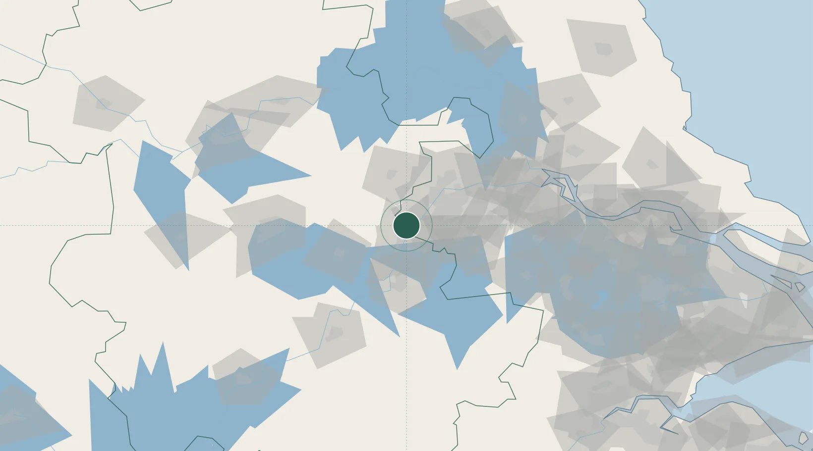
Nearby Logistics Neighbours

Cities
  1. 1Ma'anshan17 km
  2. 2zhengpugang Pt27 km
  3. 3Quanjiao41 km
  4. 4Nanjing50 km
  5. 5Chuzhou51 km
Nearest neighbours — logibook spatial index (haversine) over the source coordinates
Ports
  1. 1Nanjing37 km
  2. 2Zhenjiang101 km
  3. 3Yangzhou103 km
  4. 4Gaogang140 km
  5. 5Changzhou145 km
Nearest neighbours — logibook spatial index (haversine) over the source coordinates
Airports
  1. 1Nanjing Lukou International Airport42 km
  2. 2Feidong Air Base75 km
  3. 3Wuhu Xuanzhou Airport87 km
  4. 4Changzhou Benniu International Airport125 km
  5. 5Hefei Xinqiao International Airport140 km
Nearest neighbours — logibook spatial index (haversine) over the source coordinates
DatabookThe Record of Consolidated Knowledge
China beyond logistics?
Browse databook

All Sources

LocationsUN/LOCODE
UN/LOCODE — free
Portsthe NGA World Port Index
Public domain (US gov)
AirportsOurAirports
Public domain
Trade Zonesthe World Bank SEZ database
CC BY 4.0
Trade ZonesOpen Zone Map
CC BY
← China locations