Export Processing Zone · China

Maanshan Yushan Economic Development Zone Active
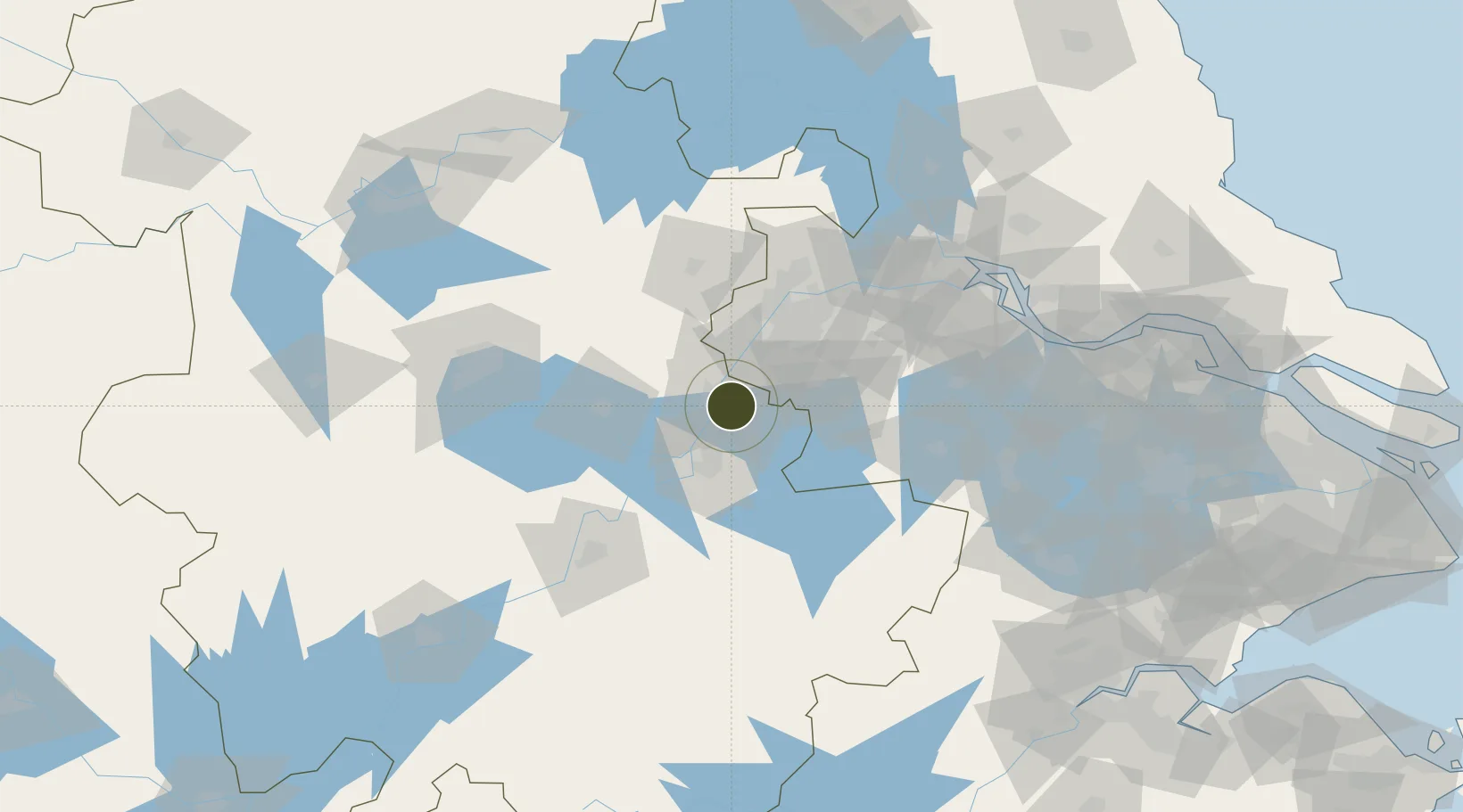
31.6403°, 118.4967°
3,200 ha
Zone area
54.8 km
Nearest port
36.5 km
Nearest airport

Gateway access

Nearest neighbours — logibook spatial index (haversine) over the source coordinates

Zone profile

Zone type
Export Processing Zone
Open Zone Map
Region
Anhui
Open Zone Map
Status
Active
Open Zone Map
Management
Public
Open Zone Map
Operator
Working Committee of Maanshan Yushan Economic Development Zone
Open Zone Map
Legal framework
Officially issued by the People's Government of Anshan CityMaanshan city main Functional Area Planning(2018-2025)
Open Zone Map

Location

Location of ozm-1393
Natural Earth 10m (public domain) · Anhui · ozm-1393 · 31.64, 118.50GoogleOSMYandex

Nearby Logistics Neighbours

Ports
  1. 1Nanjing55 km
  2. 2Zhenjiang109 km
  3. 3Yangzhou113 km
  4. 4Changzhou145 km
  5. 5Gaogang146 km
Nearest neighbours — logibook spatial index (haversine) over the source coordinates
Airports
  1. 1Nanjing Lukou International Airport37 km
  2. 2Wuhu Xuanzhou Airport62 km
  3. 3Feidong Air Base85 km
  4. 4Changzhou Benniu International Airport125 km
  5. 5Chizhou Jiuhuashan Airport126 km
Nearest neighbours — logibook spatial index (haversine) over the source coordinates
Cities
  1. 1Ma'anshan9 km
  2. 2zhengpugang Pt11 km
  3. 3Wujiang26 km
  4. 4Wuhu31 km
  5. 5Quanjiao60 km
Nearest neighbours — logibook spatial index (haversine) over the source coordinates
DatabookThe Record of Consolidated Knowledge
China beyond logistics?
Browse databook

All Sources

Trade ZonesOpen Zone Map
CC BY
Portsthe NGA World Port Index
Public domain (US gov)
AirportsOurAirports
Public domain
LocationsUN/LOCODE
UN/LOCODE — free
← China trade zones