Free Trade Zone · China

Maanshan Cihu Hi-tech Industrial Development Zone Active
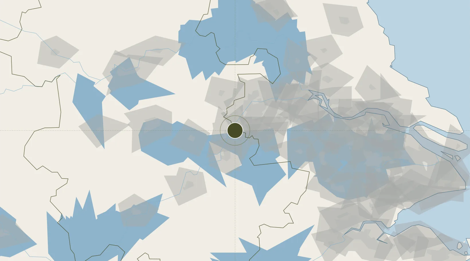
31.7495°, 118.5213°
6,000 ha
Zone area
42.9 km
Nearest port
32.6 km
Nearest airport

Gateway access

Nearest neighbours — logibook spatial index (haversine) over the source coordinates

Zone profile

Zone type
Free Trade Zone
Open Zone Map
Region
Anhui
Open Zone Map
Status
Active
Open Zone Map
Management
Public
Open Zone Map
Operator
Management Committee of Ma'anshan Cihu High-tech Industrial Development Zone
Open Zone Map
Legal framework
Regulations on Taxation Policies of National High-Tech Industrial Development Zones: Approved by State Council of the People's Republic of China Mar 6, 1991, Administrative Measures for the Recognition of High-tech Enterprises: Ministry of Science and Tec
Open Zone Map

Location

Location of ozm-1569
Natural Earth 10m (public domain) · Anhui · ozm-1569 · 31.75, 118.52GoogleOSMYandex

Nearby Logistics Neighbours

Ports
  1. 1Nanjing43 km
  2. 2Zhenjiang101 km
  3. 3Yangzhou104 km
  4. 4Gaogang139 km
  5. 5Changzhou140 km
Nearest neighbours — logibook spatial index (haversine) over the source coordinates
Airports
  1. 1Nanjing Lukou International Airport33 km
  2. 2Wuhu Xuanzhou Airport73 km
  3. 3Feidong Air Base83 km
  4. 4Changzhou Benniu International Airport120 km
  5. 5Chizhou Jiuhuashan Airport138 km
Nearest neighbours — logibook spatial index (haversine) over the source coordinates
Cities
  1. 1Ma'anshan6 km
  2. 2Wujiang15 km
  3. 3zhengpugang Pt18 km
  4. 4Wuhu43 km
  5. 5Quanjiao53 km
Nearest neighbours — logibook spatial index (haversine) over the source coordinates
DatabookThe Record of Consolidated Knowledge
China beyond logistics?
Browse databook

All Sources

Trade ZonesOpen Zone Map
CC BY
Portsthe NGA World Port Index
Public domain (US gov)
AirportsOurAirports
Public domain
LocationsUN/LOCODE
UN/LOCODE — free
← China trade zones