UN/LOCODE hub · China
CNMAA

Ma'anshan

31.7167°, 118.4667°
741,531
Population
3
Transport functions

Transport Functions

Port
Rail
Road
UN/LOCODE

Hub Profile

Place type
Provincial seat
GeoNames
Region
Anhui
GeoNames
Population
741,531
GeoNames
Time zone
Asia/Shanghai
GeoNames
Elevation
24 m
GeoNames
Logistics facilities
2
UN/LOCODE

Location

Location of CNMAA
Natural Earth 10m (public domain) · Anhui · CNMAA · 31.72, 118.47GoogleOSMYandex

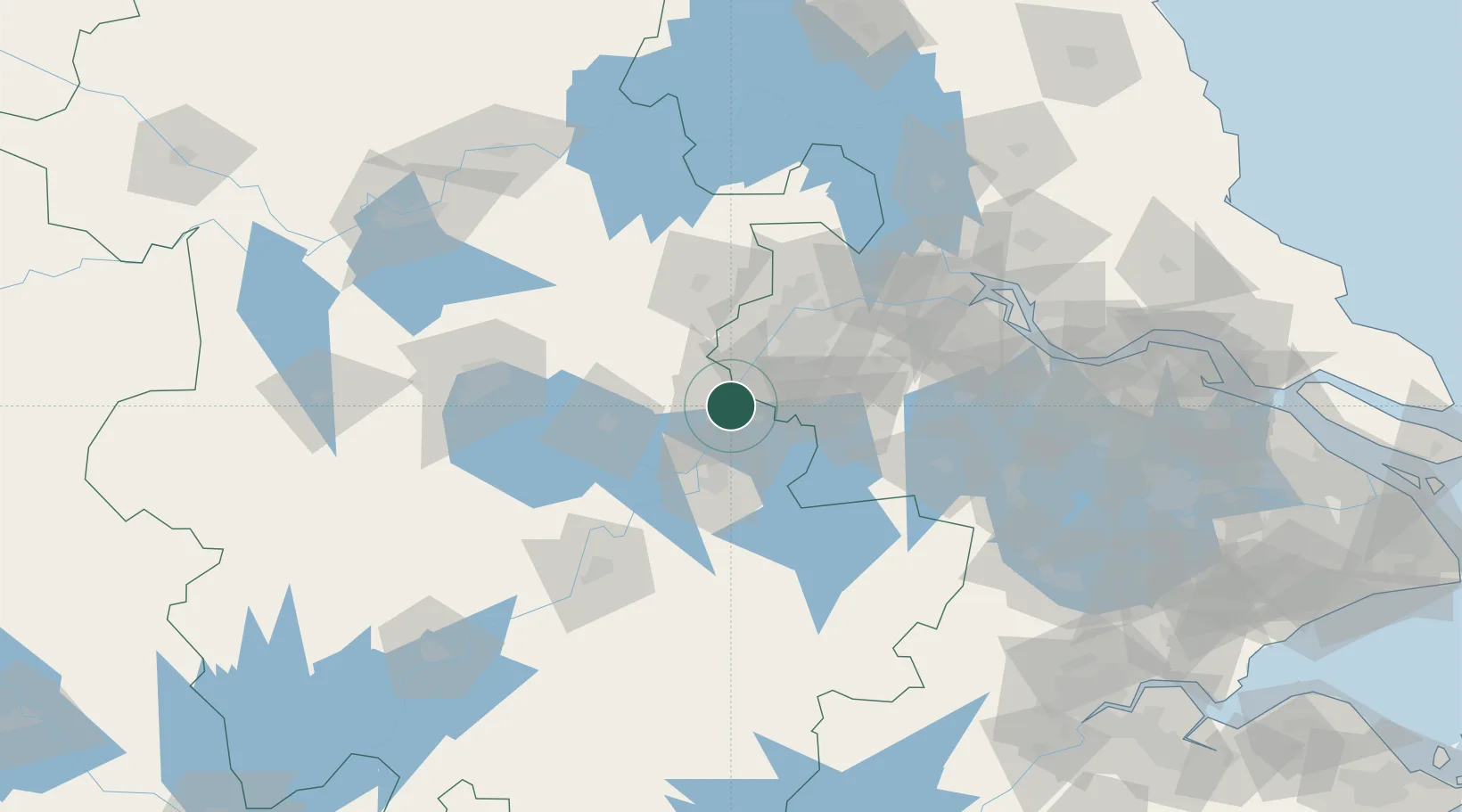
Nearby Logistics Neighbours

Cities
  1. 1zhengpugang Pt12 km
  2. 2Wujiang17 km
  3. 3Wuhu38 km
  4. 4Quanjiao52 km
  5. 5Chaohu60 km
Nearest neighbours — logibook spatial index (haversine) over the source coordinates
Ports
  1. 1Nanjing49 km
  2. 2Zhenjiang107 km
  3. 3Yangzhou110 km
  4. 4Gaogang145 km
  5. 5Changzhou146 km
Nearest neighbours — logibook spatial index (haversine) over the source coordinates
Airports
  1. 1Nanjing Lukou International Airport38 km
  2. 2Wuhu Xuanzhou Airport71 km
  3. 3Feidong Air Base79 km
  4. 4Changzhou Benniu International Airport126 km
  5. 5Chizhou Jiuhuashan Airport132 km
Nearest neighbours — logibook spatial index (haversine) over the source coordinates
DatabookThe Record of Consolidated Knowledge
China beyond logistics?
Browse databook

All Sources

LocationsUN/LOCODE
UN/LOCODE — free
LocationsGeoNames
CC BY 4.0
Portsthe NGA World Port Index
Public domain (US gov)
AirportsOurAirports
Public domain
Trade Zonesthe World Bank SEZ database
CC BY 4.0
Trade ZonesOpen Zone Map
CC BY
← China locations