About
Methodology
Sources
Licensing
English
EN
English
TR
Türkçe
DE
Deutsch
FR
Français
ES
Español
IT
Italiano
PT
Português
NL
Nederlands
PL
Polski
RU
Русский
UK
Українська
CS
Čeština
RO
Română
EL
Ελληνικά
BG
Български
AR
العربية
FA
فارسی
UR
اردو
HI
हिन्दी
BN
বাংলা
ID
Bahasa Indonesia
VI
Tiếng Việt
ZH
中文
JA
日本語
KO
한국어
logibook
/
Countries
/
China
/
Locations
/
zhengpugang Pt
UN/LOCODE hub ·
China
CN
ZPG
zhengpugang Pt
31.6333°, 118.3833°
1
Transport functions
Transport Functions
Port
UN/LOCODE
Hub Profile
Region
AH
GeoNames
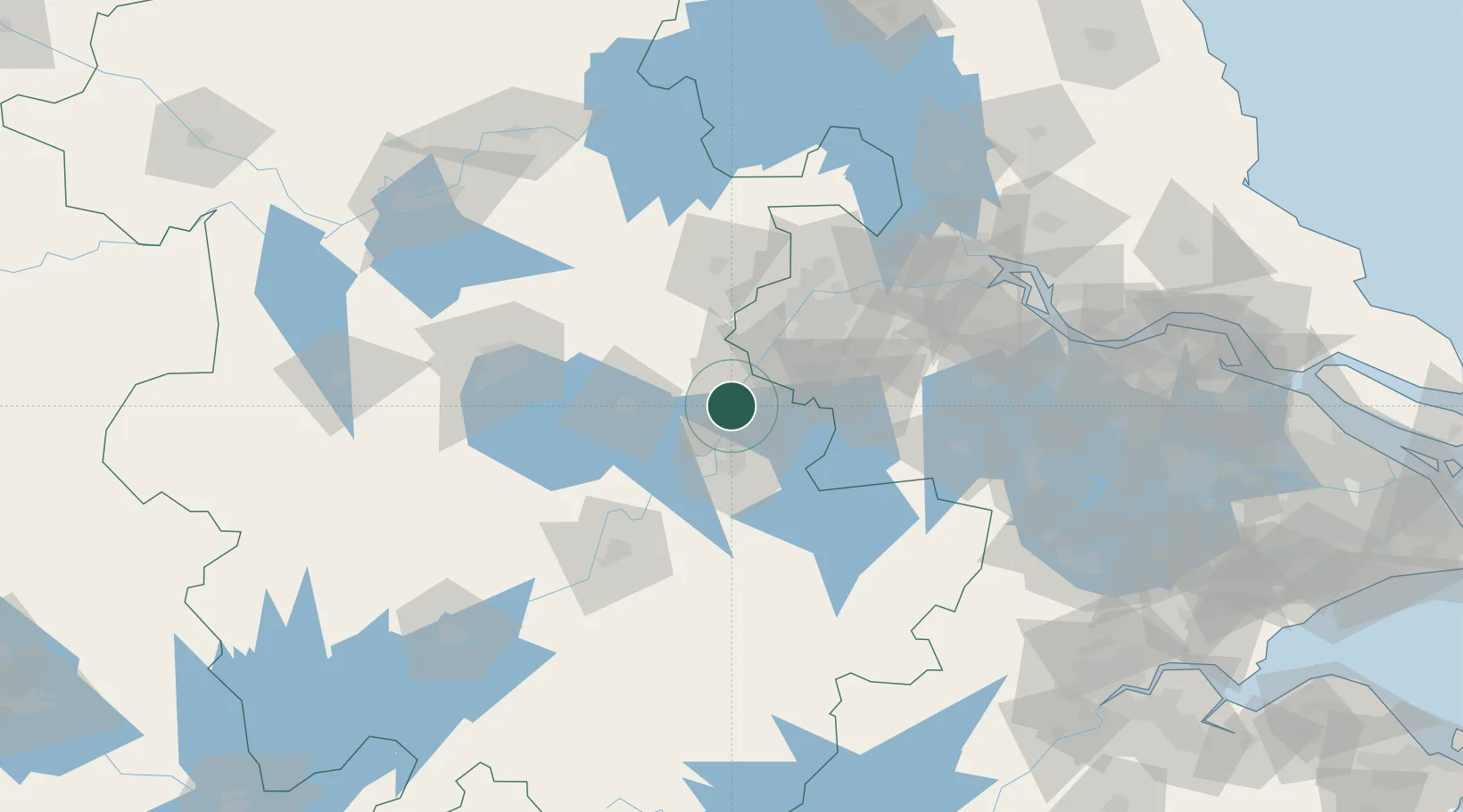
Location
Natural Earth 10m (public domain) · AH · CNZPG · 31.63, 118.38
Google ↗
OSM ↗
Yandex ↗
Nearby Logistics Neighbours
Cities
1
Ma'anshan
12 km
2
Wujiang
27 km
3
Wuhu
27 km
4
Chaohu
51 km
5
Quanjiao
54 km
Nearest neighbours — logibook spatial index (haversine) over the source coordinates
Ports
1
Nanjing
61 km
2
Zhenjiang
118 km
3
Yangzhou
122 km
4
Changzhou
156 km
5
Gaogang
156 km
Nearest neighbours — logibook spatial index (haversine) over the source coordinates
Airports
1
Nanjing Lukou International Airport
47 km
2
Wuhu Xuanzhou Airport
65 km
3
Feidong Air Base
75 km
4
Chizhou Jiuhuashan Airport
119 km
5
Changzhou Benniu International Airport
135 km
Nearest neighbours — logibook spatial index (haversine) over the source coordinates
Trade Zones
1
Maanshan Yushan Economic Development Zone
11 km
2
Maanshan Dangtu Economic Development Zone
12 km
3
Economic Development Zone of He County
15 km
4
Maanshan Cihu Hi-tech Industrial Development Zone
18 km
5
Maanshan Cihu High & New Tech Development Zone
18 km
Nearest neighbours — logibook spatial index (haversine) over the source coordinates
Data
book
The Record of Consolidated Knowledge
China beyond logistics?
Browse databook
→
All Sources
Locations
UN/LOCODE
UN/LOCODE — free
↗
Ports
the NGA World Port Index
Public domain (US gov)
↗
Airports
OurAirports
Public domain
↗
Trade Zones
the World Bank SEZ database
CC BY 4.0
↗
Trade Zones
Open Zone Map
CC BY
↗
← China locations