Large airport · China

Nanjing Lukou International AirportZSNJ
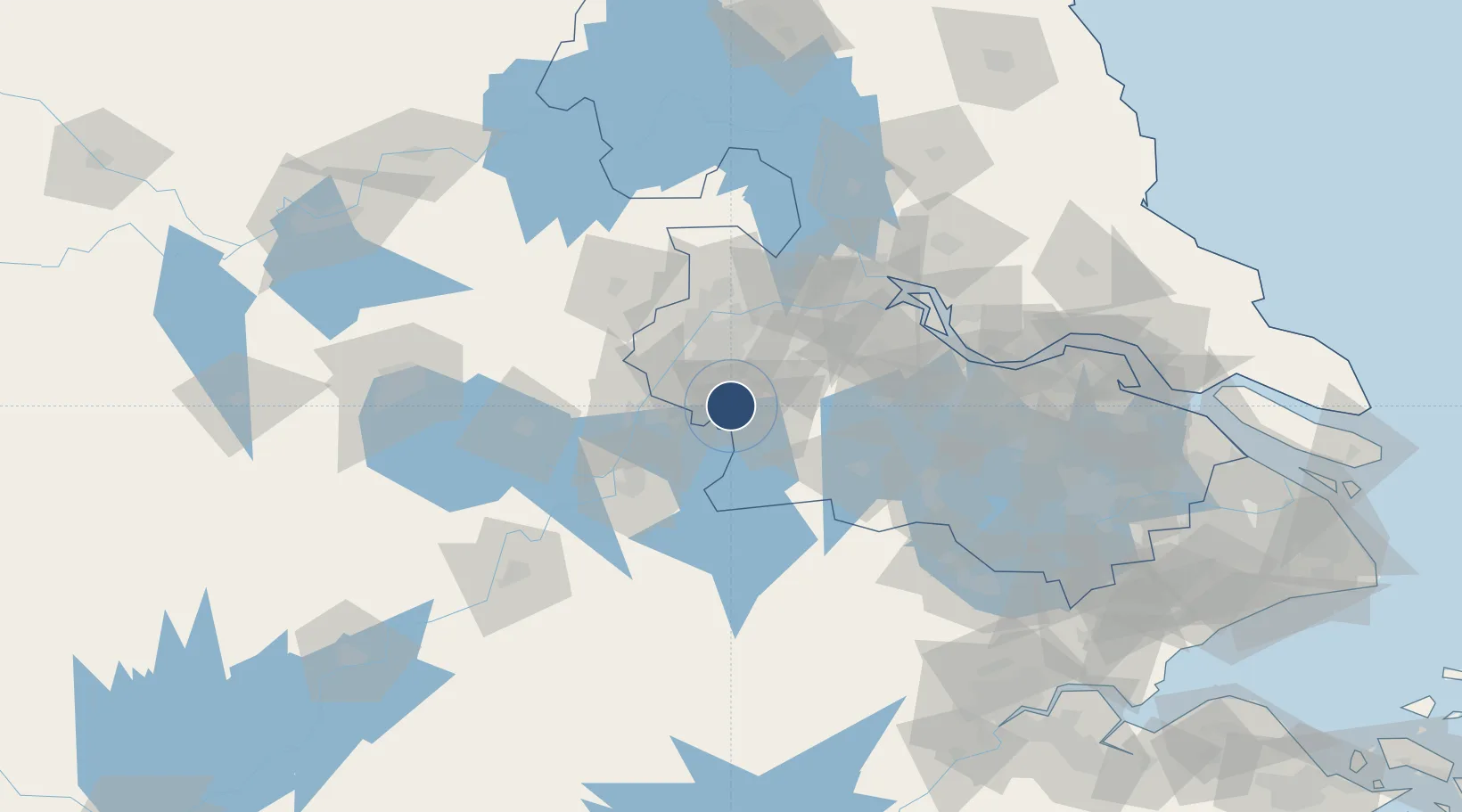
31.7350°, 118.8659°
11,811 ft
Longest runway
2
Runways
49 ft
Elevation

Runway & Layout

Nanjing Lukou International Airport runway & taxiway layout
Runway & taxiway layout — OpenStreetMap (ODbL) / OurAirports

Radio Frequencies

ATIS
126.25 MHz
TWR
118.85 MHz
NANJING TWR
GND
121.7 MHz
NANJING GND
APP
119.25 MHz
NANJING APP
OurAirports

Navaids

GS NDB Lishui 297 kHz
GT NDB Qunli 276 kHz
ID NDB Xiaodanyang 440 kHz
NSE VOR-DME Nanjing 112.00 MHz
OurAirports

Runways · 2

RunwayDimensions SurfaceTrue headingLit
06/24 11,811 × 148ft Concrete 058°
07/25 11,810 × 197ft Concrete 058°
OurAirports

Airport Specifications

IATA code
NKG
OurAirports
ICAO code
ZSNJ
OurAirports
Airport class
Large airport
OurAirports
Scheduled service
Yes
OurAirports
Runway surface
Concrete
OurAirports
Served city
Nanjing
OurAirports

Location

Location of ZSNJ
Natural Earth 10m (public domain) · Jiangsu · ZSNJ · 31.74, 118.87GoogleOSMYandex

Nearby Logistics Neighbours

Airports
  1. 1Wuhu Xuanzhou Airport73 km
  2. 2Changzhou Benniu International Airport88 km
  3. 3Feidong Air Base116 km
  4. 4Yangzhou Taizhou Airport122 km
  5. 5Anji Tianzihu General Airport125 km
Nearest neighbours — logibook spatial index (haversine) over the source coordinates
Cities
  1. 1Jurong35 km
  2. 2Ma'anshan38 km
  3. 3Nanjing42 km
  4. 4Wujiang42 km
  5. 5zhengpugang Pt47 km
Nearest neighbours — logibook spatial index (haversine) over the source coordinates
Ports
  1. 1Nanjing40 km
  2. 2Zhenjiang76 km
  3. 3Yangzhou80 km
  4. 4Changzhou109 km
  5. 5Gaogang111 km
Nearest neighbours — logibook spatial index (haversine) over the source coordinates
Trade Zones
  1. 1Nanjing Export Processing Zone18 km
  2. 2Bowang High-Tech Industrial Development Zone18 km
  3. 3Gaochun Economic Development Zone21 km
  4. 4Jiangning Economic Development Zone23 km
  5. 5Binjiang Economic Development Zone28 km
Nearest neighbours — logibook spatial index (haversine) over the source coordinates
DatabookThe Record of Consolidated Knowledge
China beyond logistics?
Browse databook

All Sources

AirportsOurAirports
Public domain
Portsthe NGA World Port Index
Public domain (US gov)
LocationsUN/LOCODE
UN/LOCODE — free
Trade Zonesthe World Bank SEZ database
CC BY 4.0
Trade ZonesOpen Zone Map
CC BY
InfrastructureOpenStreetMap
ODbL 1.0
← China airports