Export Processing Zone · China

Ruichang Industrial Zone Active
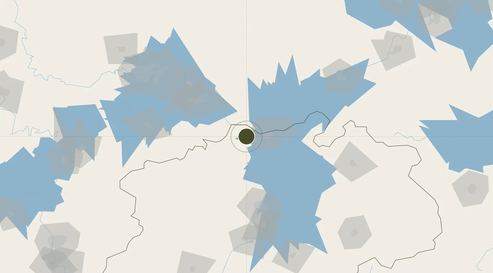
29.6964°, 115.7000°
1,540 ha
Zone area
168.2 km
Nearest port
26.3 km
Nearest airport

Gateway access

Nearest neighbours — logibook spatial index (haversine) over the source coordinates

Zone profile

Zone type
Export Processing Zone
Open Zone Map
Region
Jiangxi
Open Zone Map
Status
Active
Open Zone Map
Management
Public
Open Zone Map
Operator
Working Committee of Ruichang Industrial Zone
Open Zone Map
Legal framework
Urban Master Plan of Jiujiang City (2017-2035)
Open Zone Map

Location

Location of ozm-1324
Natural Earth 10m (public domain) · Jiangxi · ozm-1324 · 29.70, 115.70GoogleOSMYandex

Nearby Logistics Neighbours

Ports
  1. 1Hankow168 km
  2. 2Nanjing394 km
  3. 3Zhenjiang453 km
  4. 4Yangzhou456 km
  5. 5Changzhou481 km
Nearest neighbours — logibook spatial index (haversine) over the source coordinates
Airports
  1. 1Jiujiang Lushan Airport26 km
  2. 2Nanchang Changbei International Airport95 km
  3. 3Ezhou Huahu International Airport96 km
  4. 4Shanpo Air Base141 km
  5. 5Nanchang Xiangtang Air Base143 km
Nearest neighbours — logibook spatial index (haversine) over the source coordinates
Cities
  1. 1Jiujiang24 km
  2. 2Huangshi Pt81 km
  3. 3Shipai115 km
  4. 4Ezhou116 km
  5. 5Jingdezhen154 km
Nearest neighbours — logibook spatial index (haversine) over the source coordinates
Trade Zones
  1. 1Jiujiang Export Processing Zone24 km
  2. 2Shacheng Industrial Park24 km
  3. 3Lushan Industrial Park42 km
  4. 4Dean Industrial Park (Zone)42 km
  5. 5Huangmei Economic Development Zone47 km
Nearest neighbours — logibook spatial index (haversine) over the source coordinates
DatabookThe Record of Consolidated Knowledge
China beyond logistics?
Browse databook

All Sources

Trade ZonesOpen Zone Map
CC BY
Portsthe NGA World Port Index
Public domain (US gov)
AirportsOurAirports
Public domain
LocationsUN/LOCODE
UN/LOCODE — free
← China trade zones